On the 23 September 2014 the new 1B students, fresh from a summer of forgetting everything they knew for their exams, disembarked from the train at the, to them, remote Oxenholme station for the Sedbergh mapping trip, led by Nigel Woodcock. Waiting to meet them from the train was local coach driver, John, a true northerner and unflappable even in the face of 60 Cambridge students, some of whom seemed to have brought the kitchen sink with them. The group squashed onto the buses and made the winding journey into the Yorkshire Dales (despite still being in Cumbria).
Accommodation consisted of a series of flats ‘downtown’ and the bunk barn ‘uptown’, each with large communal eating areas. Food was prepared by star chef Sarah Finney, and later by Lucy Matthews, with assistance from several local cooks. The evening introductory talk was held at the ‘Tractor Shed’ lecture theatre, specially built by the other Nigel (Close), the owner of the accommodation. The concepts of mapping were introduced to the students, including a brief eulogy to Edward Greenly. He became a cult hero with the students for his description of mapping as a ‘sensual activity’. This was followed by a dash to the Red Lion, soon to be our home in the evenings. However, it closed disappointingly promptly after the massed arrival of a large group of students. The bar lady was clearly more interested in her bed than making money that evening!

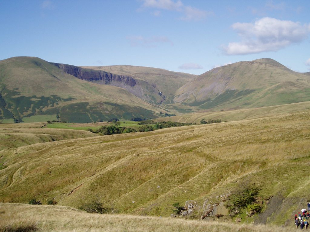
The first day gave us a taste of what lay in store for the rest of week. Working our way up Taythes Gill the students were introduced to a series of very similar looking mudstones and the large Dent fault zone. More distinct lithologies were found further upstream, which brought hope that perhaps we would be able to distinguish the formations after all. Despite being only the first day of the trip, one student had already clocked that Sally Gibson’s feet made a very comfortable pillow, and quickly set about making the most of a post lunch nap.
Undaunted by the previous day’s introduction, the students set out eagerly the next day to map independently. Unfortunately that enthusiasm was dampened by the incessant rain, which caused the demise of many of the paper maps, and the soggy realisation for some that their trainers and supposed waterproofs were inadequate field gear. The low cloud made navigation on the open fells a challenge, particularly for those generous enough to donate their compass to a forgetful student, as Morag found to her cost. Acting on the walkie-talkie information that she was near to some ‘cows’, Matt heroically launched a search party which soon found the distinctly un-distressed party (near some sheep). The wet day ended brightly enough for me when I found a massive trilobite. That evening the students discovered that the mappers’ day doesn’t finish at 5pm, as they spent the next few hours inking in their maps.
The following day we trekked back out onto the same fell-side, this time in much improved weather. The dampness of the previous days was quickly blown out of our collective sails and the maps of the area completed, calling for a hearty celebration in the pub. The later opening hours of the weekend allowed much merriment to be had by all, culminating in a late night yoga session, much to amusement of those sensible enough to realise that our balance had not been improved by the evening’s activities.
On Sunday, after a much needed morning off, the group ventured up towards Cautley Spout to map the drift which was covering the solid geology below. The purpose of the exercise was briefly forgotten by several students who had belatedly discovered the joys of wet grassy hills and waterproof trousers, but Nigel soon had them all back on track, debating the differences between till, head and re-mobilised scree.
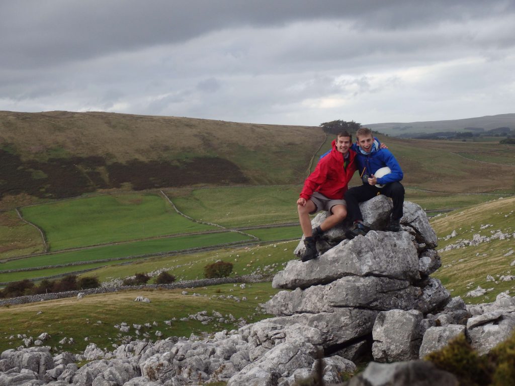
The following day was spent on the limestone pavements of Fell End Clouds. The crinoid beds in the south of the area and the multi-coloured minerals found throughout caused the usual excitement. The large swooping anticline which forms the major structure in the area was discovered late in the day by many pairs, but as always this day proved a winner with the group.

The next day we ventured further afield into my native Lake district to map the Caldbeck granite and related mineral veins. We were joined there by geologist and pioneering rock climber Jack Soper. Nigel and Jack were trying to decipher the sequence of geological events, their previous sequence having been thrown into disarray by a new age for the granite. This in itself proved an insight into the world of academia for the students, who can sometimes be guilty of believing everything they are told unquestioningly! At the end of the day, a slight miscalculation caused havoc when the coach was sent back to Sedbergh leaving too many students to fit in the minibus. After unsuccessful ringing of the coach, the demonstrators set their sights on a nearby pub and were looking forward to spending some quality time there until other transport could be arranged. Unfortunately a phone signal was re-established and the coach recalled just before they could get to the bar, putting an end to any ideas we had had.
The penultimate day was spent logging the geological sequence found in Backside Beck. It spans the closure of the Iapetus Ocean, and the Late Ordovician ice age, but in rocks that rarely venture above mudstone grade. The day culminated with the geological history being interpreted in the medium of dance, directed by Neil Davies.
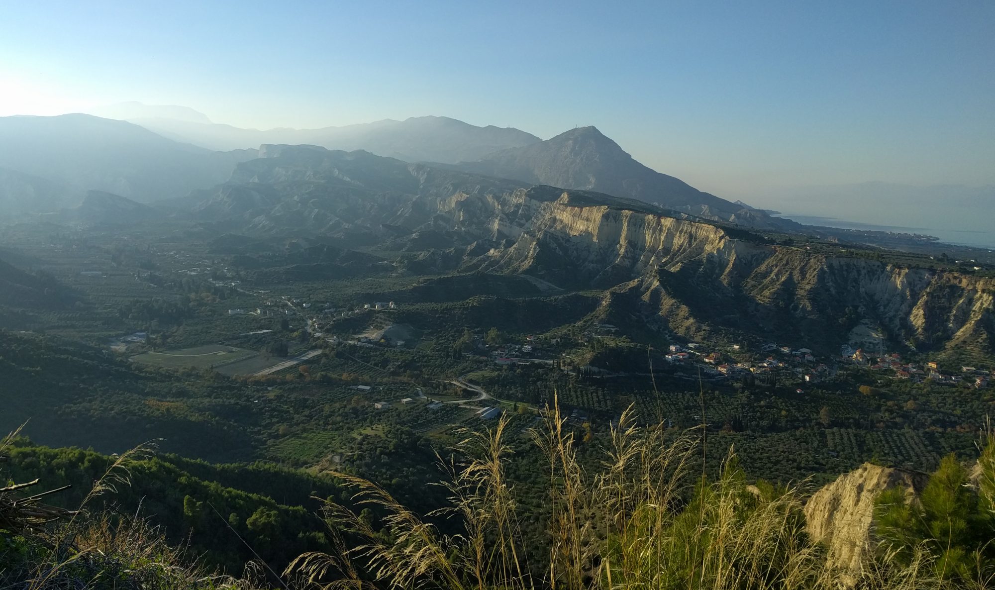
The trip ended with an introduction to mapping with GPS. After the morning route march by Dave ‘king-of-the-mountains’ Norman, the group were let loose tracing out vague lumps and bumps in the landscape, pushing the limits of geological mapping when there is no outcrop to be seen. After a short day in the field, Dave and Nigel gave their final talks on Adam Sedgwick and the geology of Sedbergh, followed by a delicious barbeque in the evening. The party was kicked off by a rendition of Matthew Kemp and Lizzie Pearmain’s latest hit ‘A Musical Melange of Mapping Melodies‘ which set the tone for a great final night in Sedbergh. Having bought the local Spar out of knock-off Lambrini, the students soon realised the only way to make this drinkable was to mix it with knock-off Ribena. It seems as though, while we might have been successful in teaching them how to make geological maps, they have much to learn when it comes to choosing the right drinks. At least they won’t be complaining about the retsina in Greece!
All in all, a great trip, enjoyed by everyone and successful in converting many of the students who were wavering on the edge to take geology in Part 1B. I’m already looking forward to going back next year!
Laurence Cowton, MSci 2009-2013, PhD 2013-present

