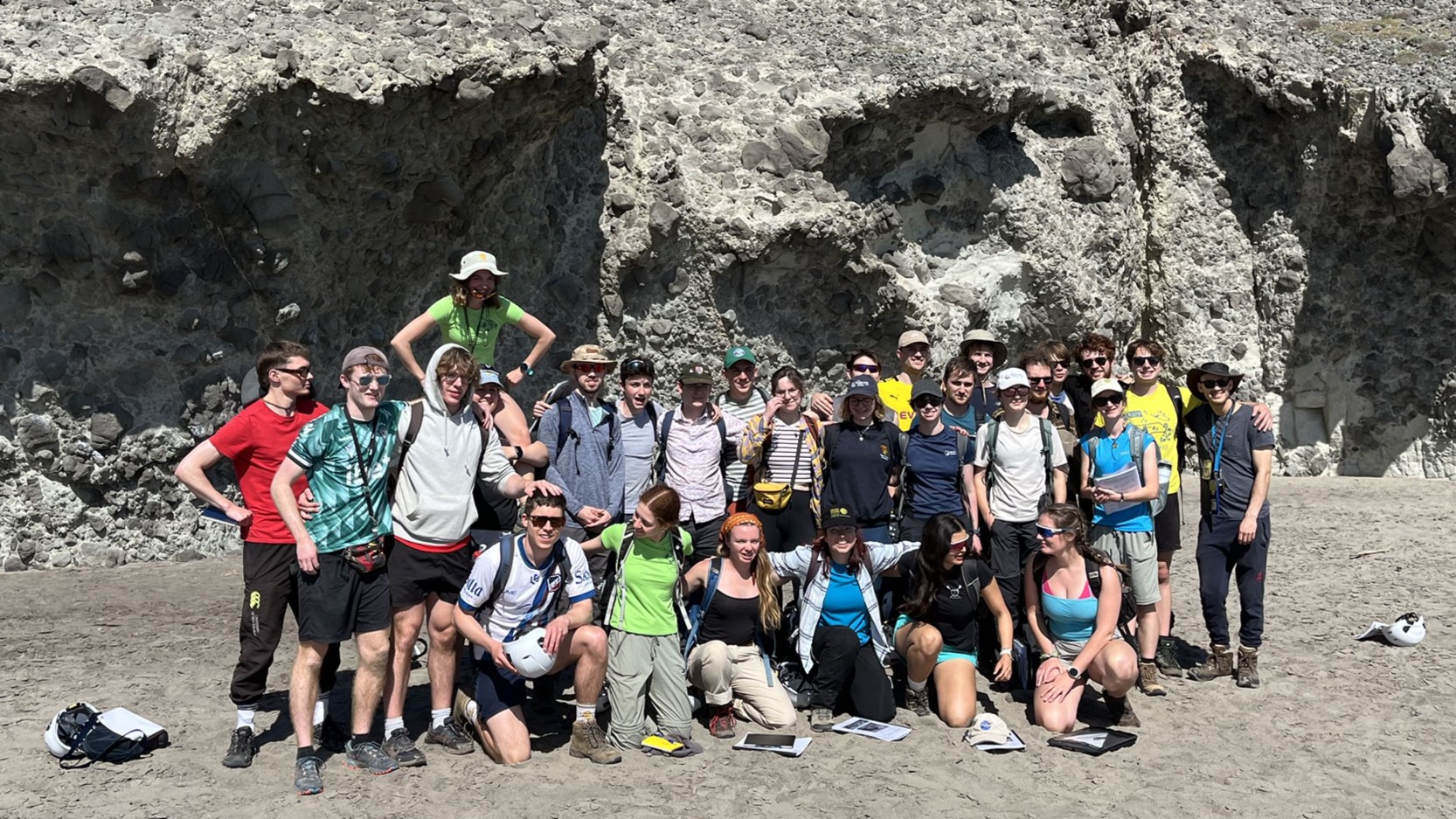

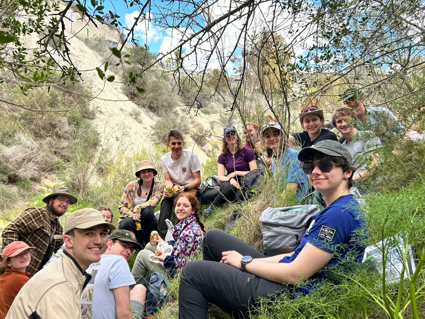
During the Easter holidays, 31 Part III Earth Science students and 8 demonstrators travelled to southeastern Spain (Almería) for the students’ final fieldtrip. The region’s complex geology offered something special for everyone. Over six days in the field, we moved through geological time and explored the diverse environments—from metamorphic basements and Miocene reef outcrops, to orbitally paced sedimentary cycles and gypsum beds, and on to turbidite deposits, volcanic centres, and strike-slip fault zones.
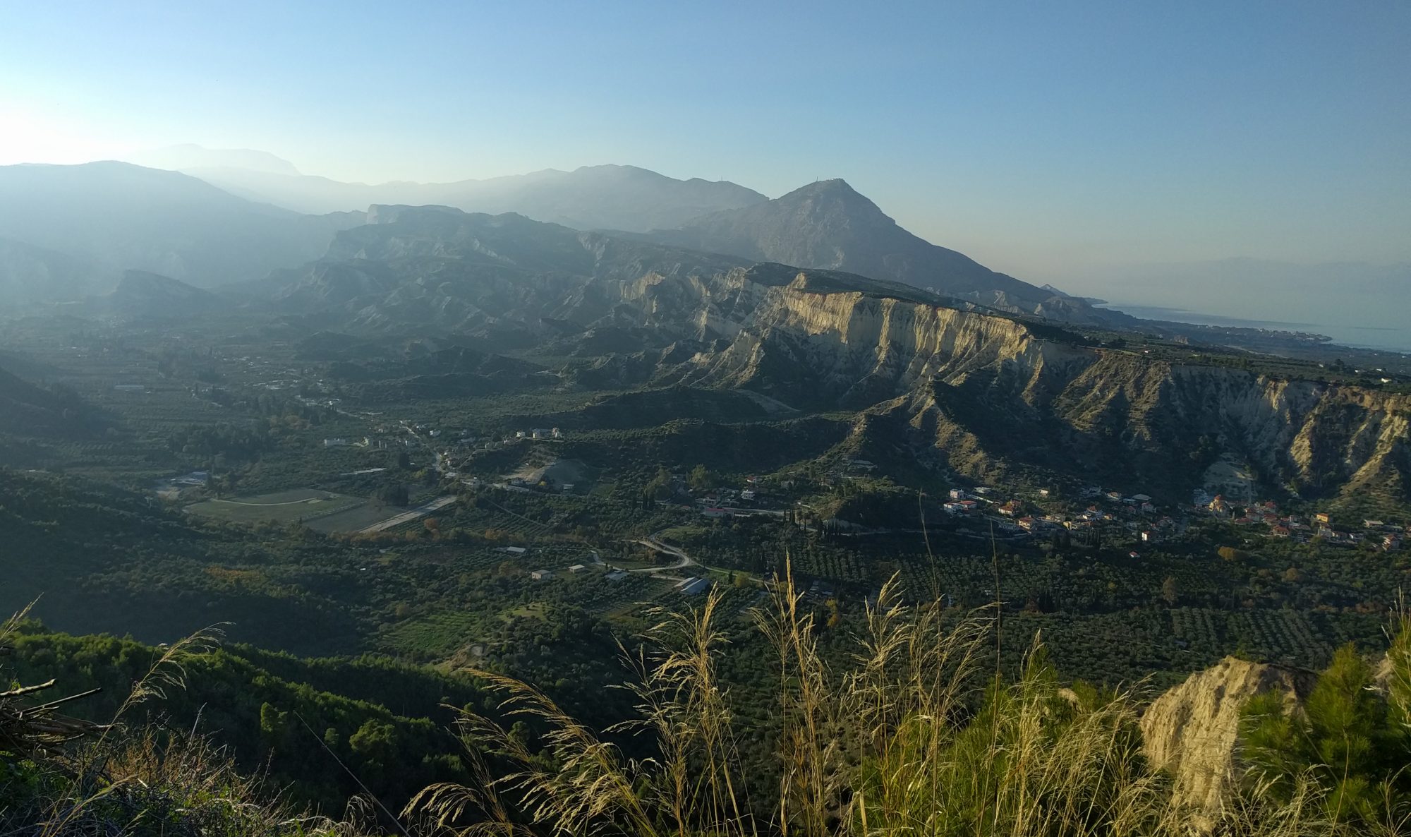
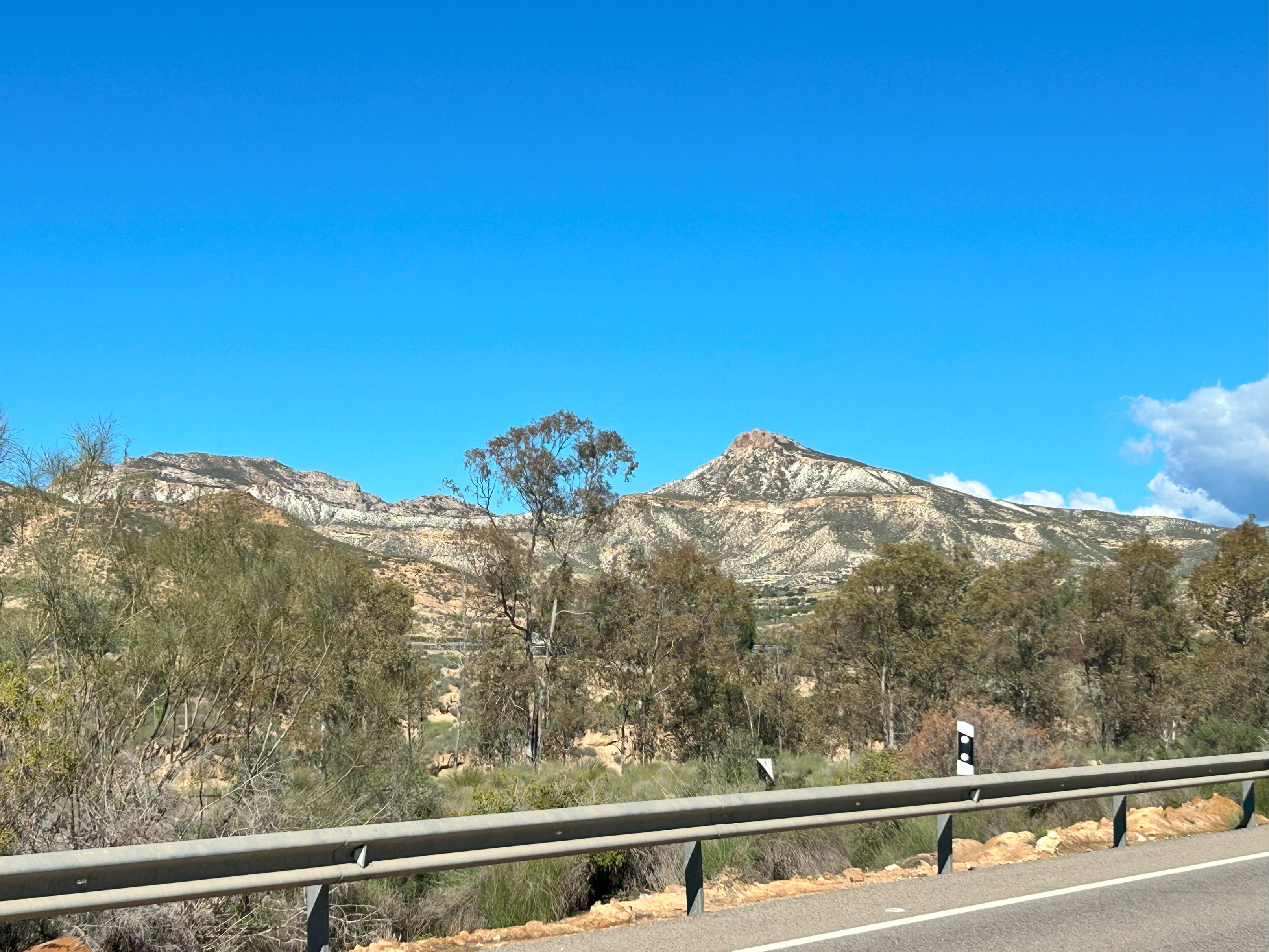
On day one, we traversed the Sierra Alhamilla to gain an overview of the adjacent Sorbas Basin and to explore its basin-and-range style geology.
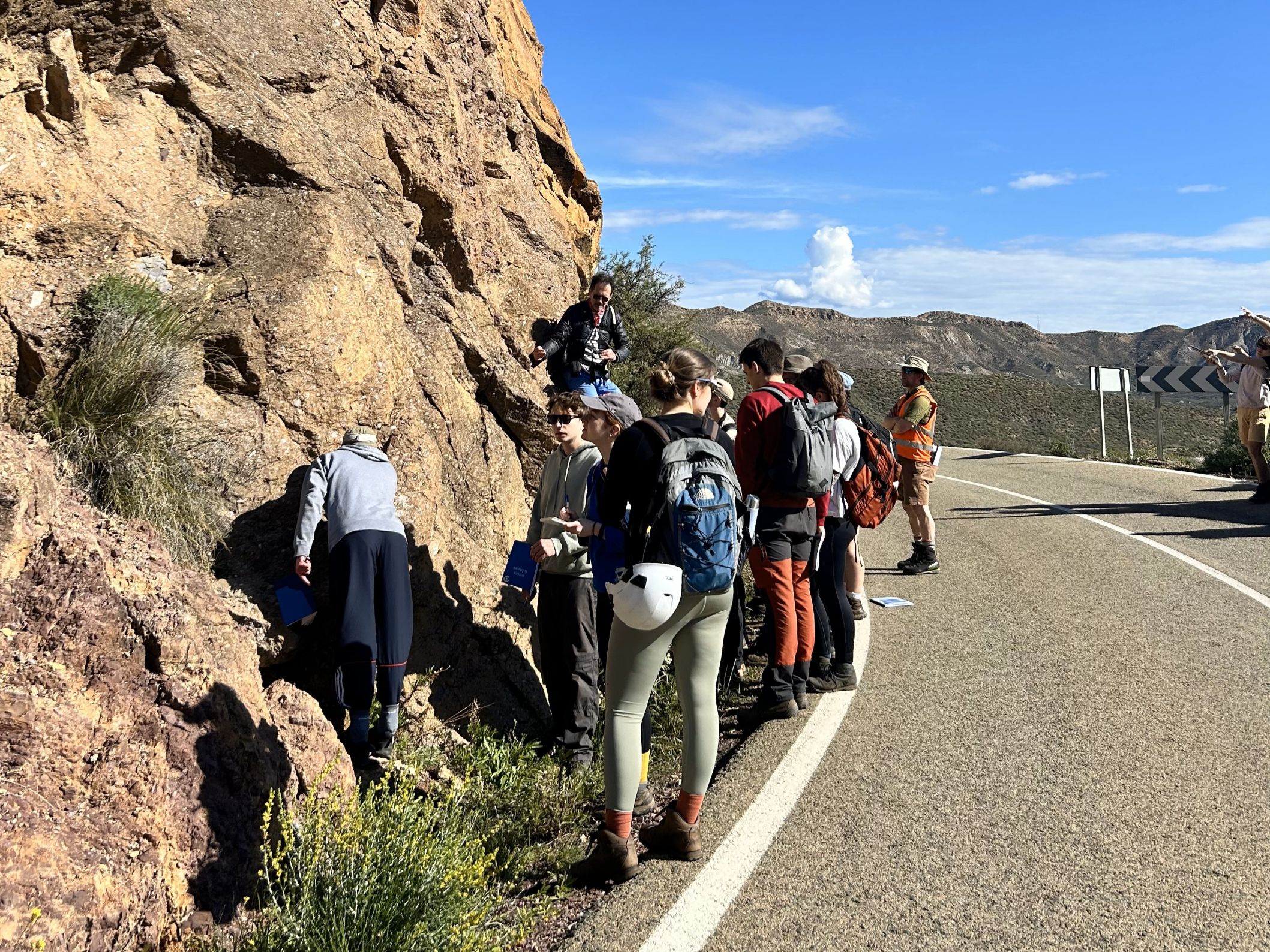
A highlight of the first day was examining metamorphic rocks displaying multiple phases of deformation. We stopped at an outcrop marking the contact between the low-grade metamorphic Alpujarride basement (rich in purplish phyllites) and the basal sediments of the Sorbas Basin, which contain polymictic breccia known as the Chozas Formation. Later in the day, we reached the Tahal Schist, part of the high-grade Nevado–Filabride complex.
Our final stop of the day was at the El Hoyazo volcano. We climbed the heavily eroded volcanic dome, which forms a striking bowl-shaped landscape. Interestingly, the surrounding Messinian reef carbonates have resisted erosion, helping preserve this distinct morphology. We ended the day picking garnets from the igneous outcrop—a rewarding close to a busy first day in the field.
On days two and three, we explored the sedimentary infill of the Sorbas Basin, working our way up-section from Tortonian-age (late Miocene) formations to the Miocene–Pliocene boundary. A major highlight was examining spectacular outcrops from the Messinian Salinity Crisis (5.97–5.33 Ma), when the Mediterranean Sea partially dried up, leading to the deposition of thick salt layers—amounting to approximately 5% of the global ocean’s salt content!

After a long hike and a shady lunch stop, we reached the Yesares gypsum. The sequence displays rhythmic alternations of gypsum layers (formed during dry summers linked to insolation minima) and laminated marls (deposited during wetter summers associated with insolation maxima)—all orbitally paced in time with the ~21-kyr precession cycle.
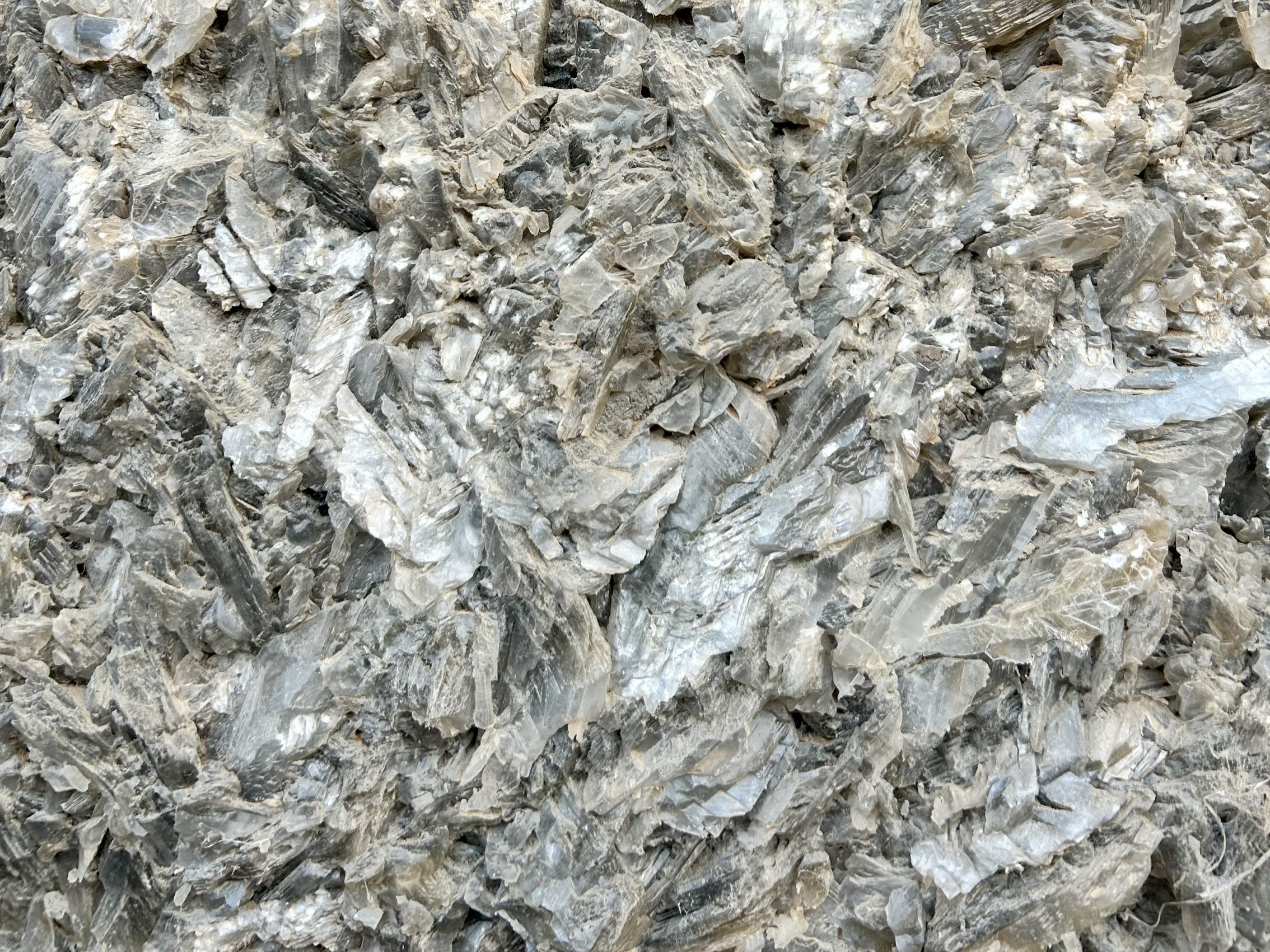
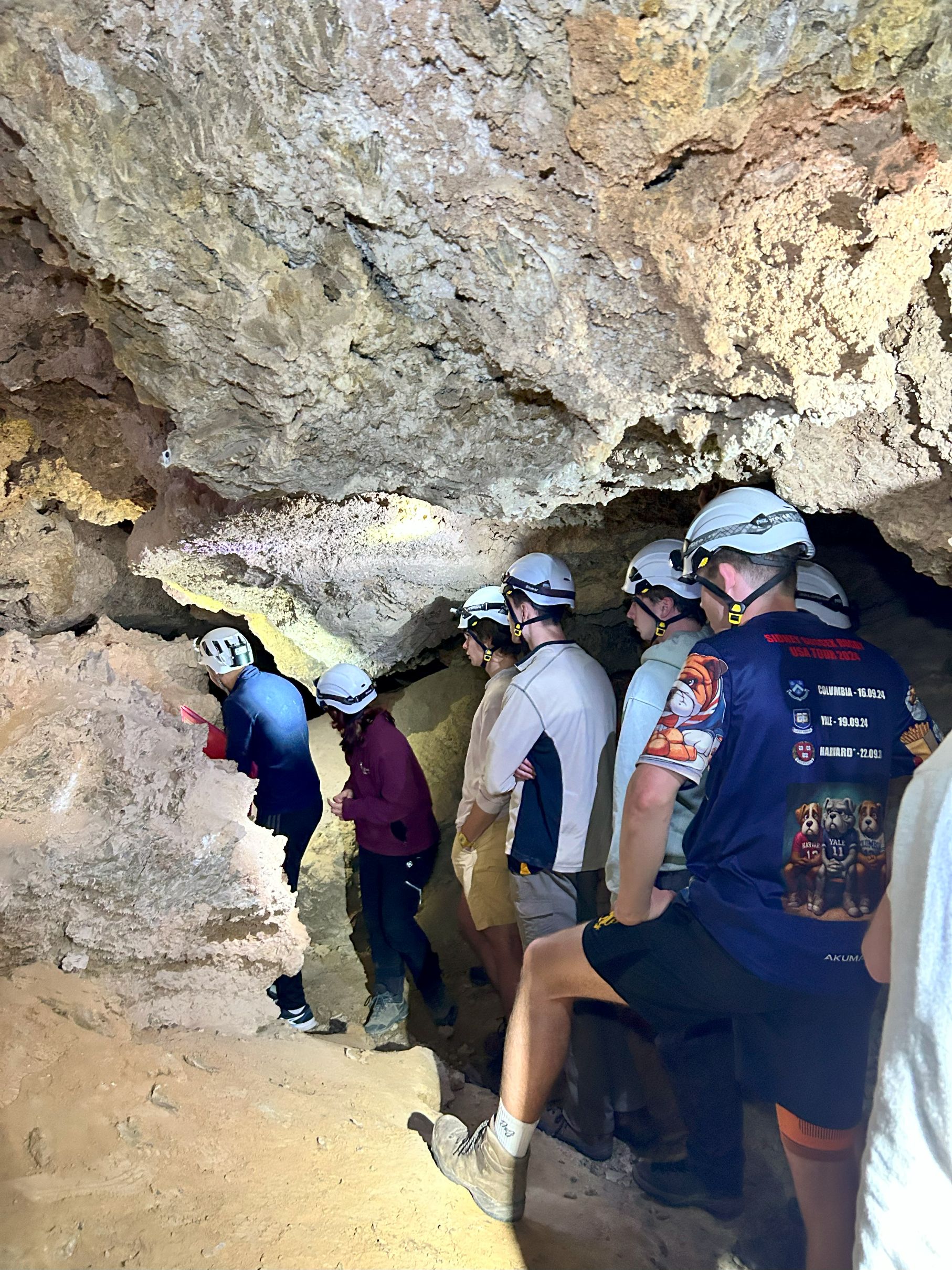
One of the day’s highlights was visiting the Cueva Covadura, a karst cave composed of gypsum rather than the usual limestone, with passages carved by the erosion of interbedded marls. It is rare to see such a cave in gypsum and absolutely fascinating to experience it in person!
Day four took us to the Tabernas Basin, a westward extension of the Sorbas Basin. There, we explored the transition from terrestrial to marine environments, as well as a spectacular mega-debris flow deposit.
The photos below show an enormous late Tortonian megabed, spanning tens of metres in thickness and extending laterally for kilometres! We identified the sedimentary units beginning with a matrix-supported conglomerate at the base, grading upward into sandstones and mudstones.
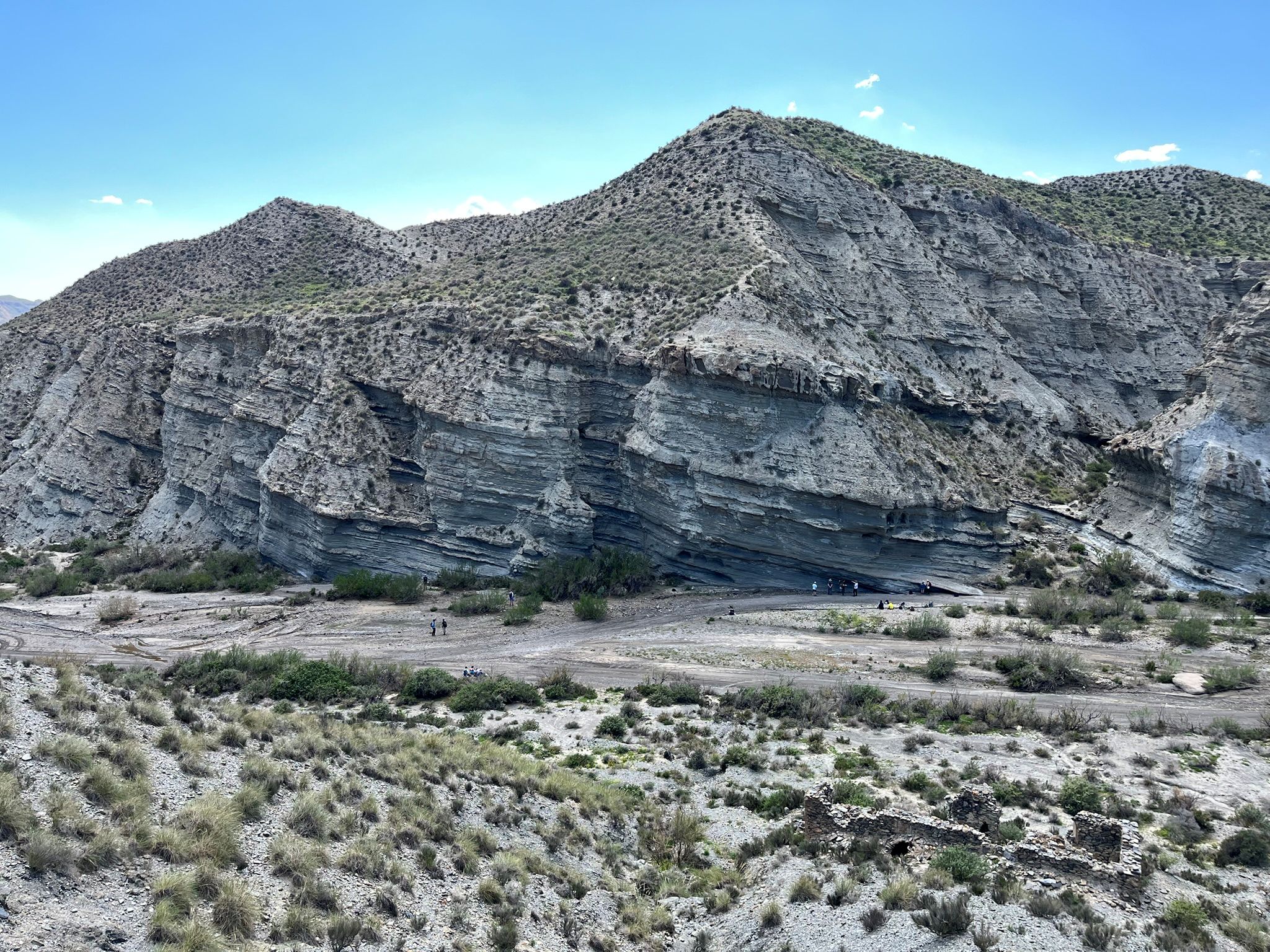
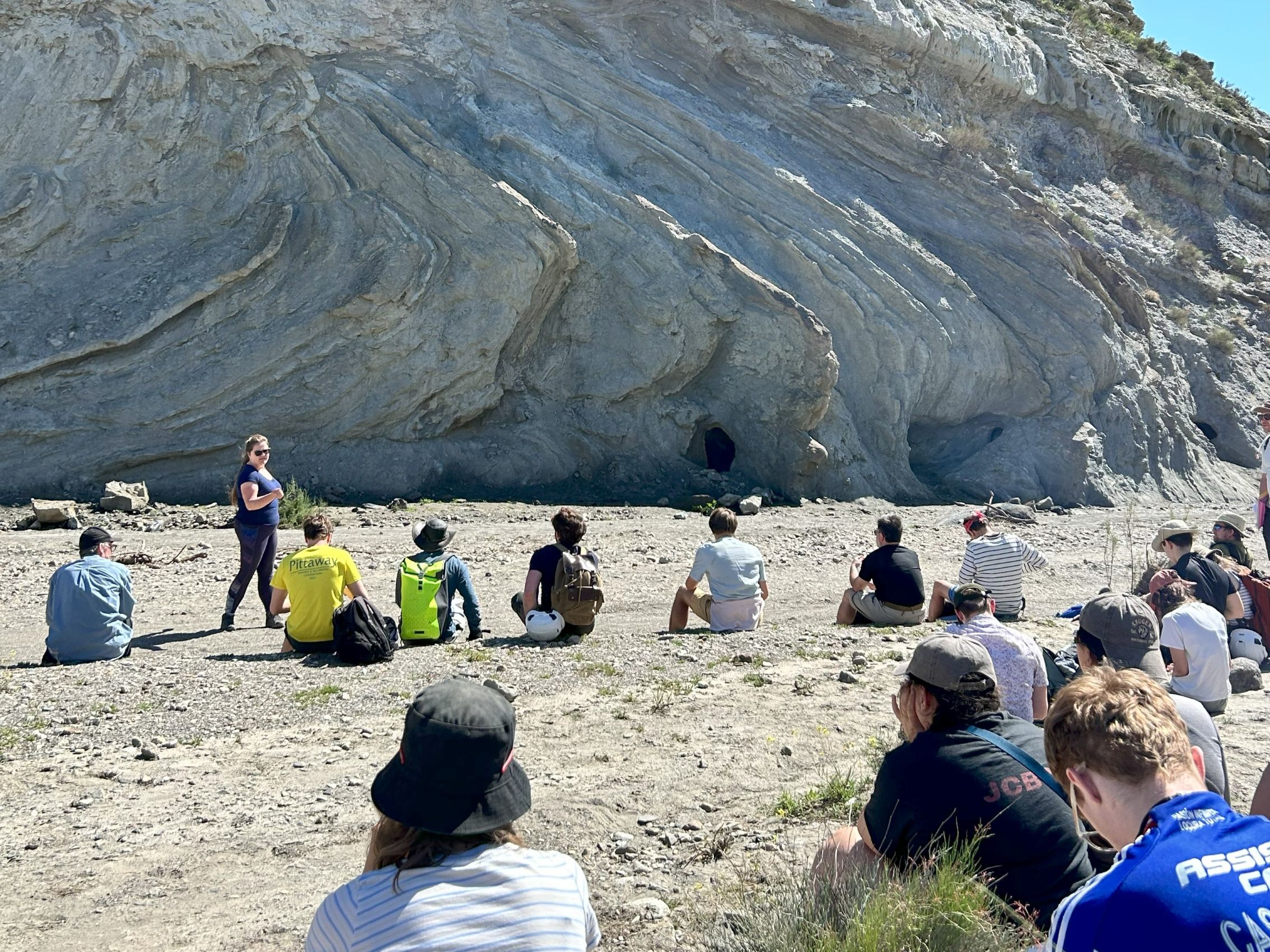
The folded basal turbidites were likely ripped from their substrate by a massive debris flow, while the flat-bedded upper units suggest a return to more typical turbidite deposition. As for what triggered this catastrophic slope collapse, it’s still up for debate — was it an earthquake? A meteorite impact? Or simple oversteepening (less likely given the extent)?
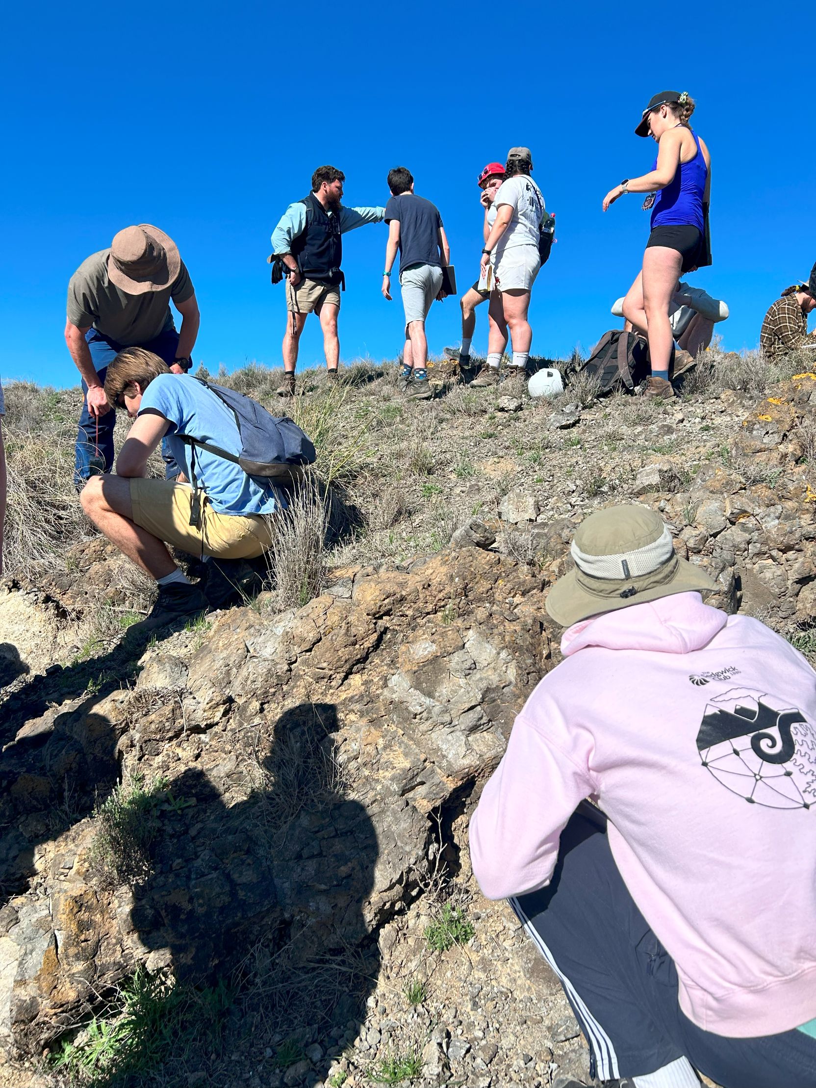
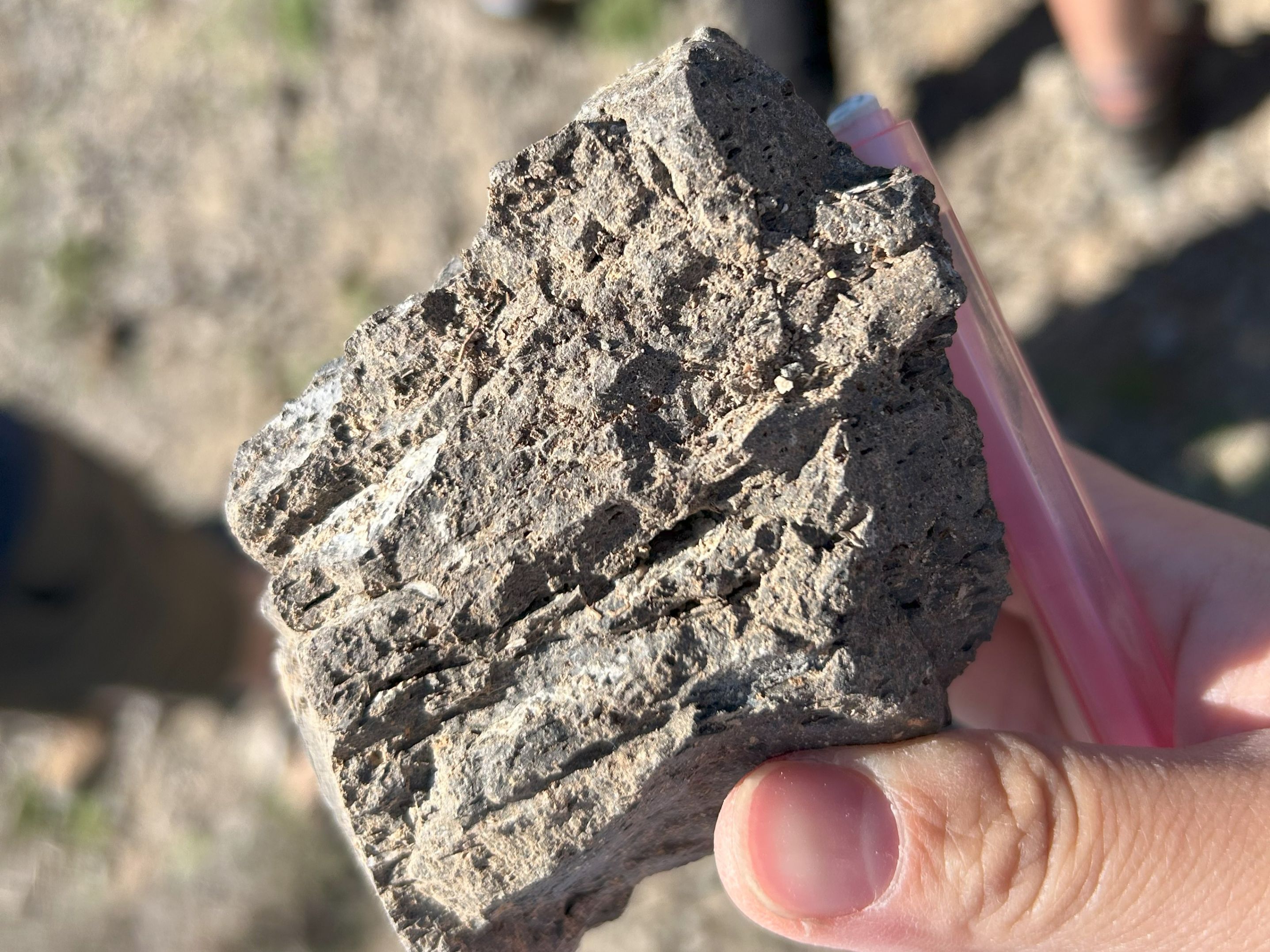
Day 5 began in the Vera Basin, where we examined outcrops of lamproite—rare, high-potassium, high-silica volcanic rocks thought to originate from metasomatized mantle sources.
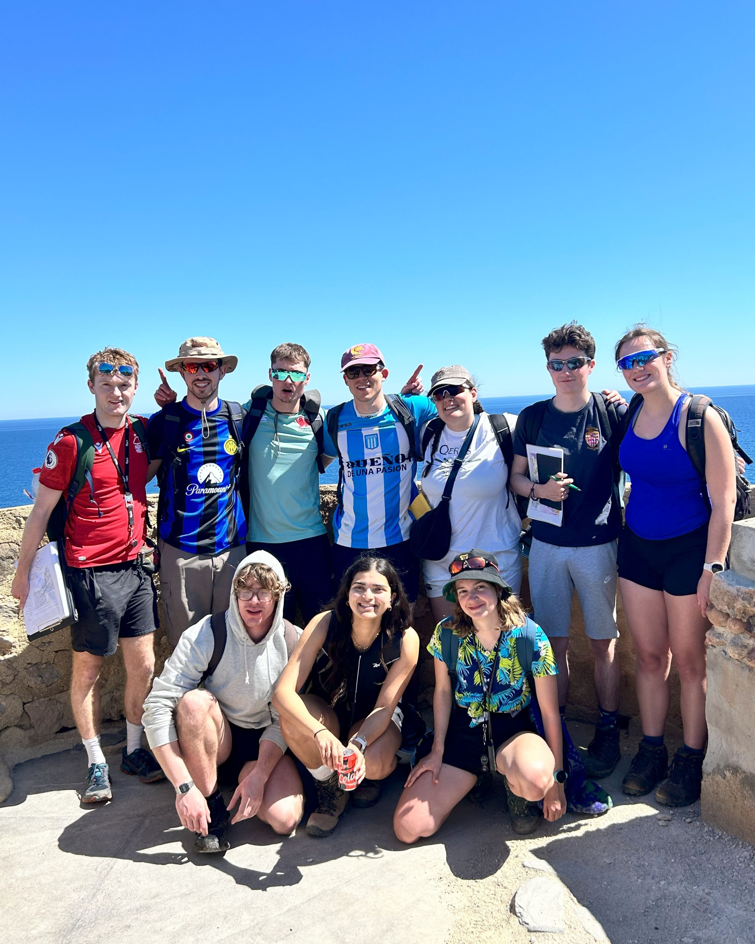
After lunch at the beach in Mojácar, we climbed up to Macenas Tower, which offered expansive views of the coastline. From the top, we spotted raised beach terraces composed of conglomerate to the north, formed during the Last Interglacial highstand (~130,000 years ago). These features reflect a combination of regional tectonic uplift and a fall in eustatic sea level.
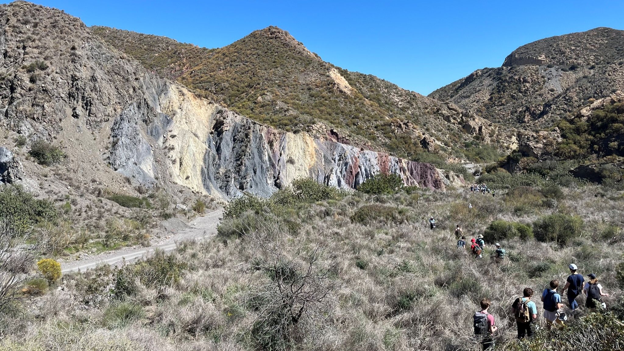
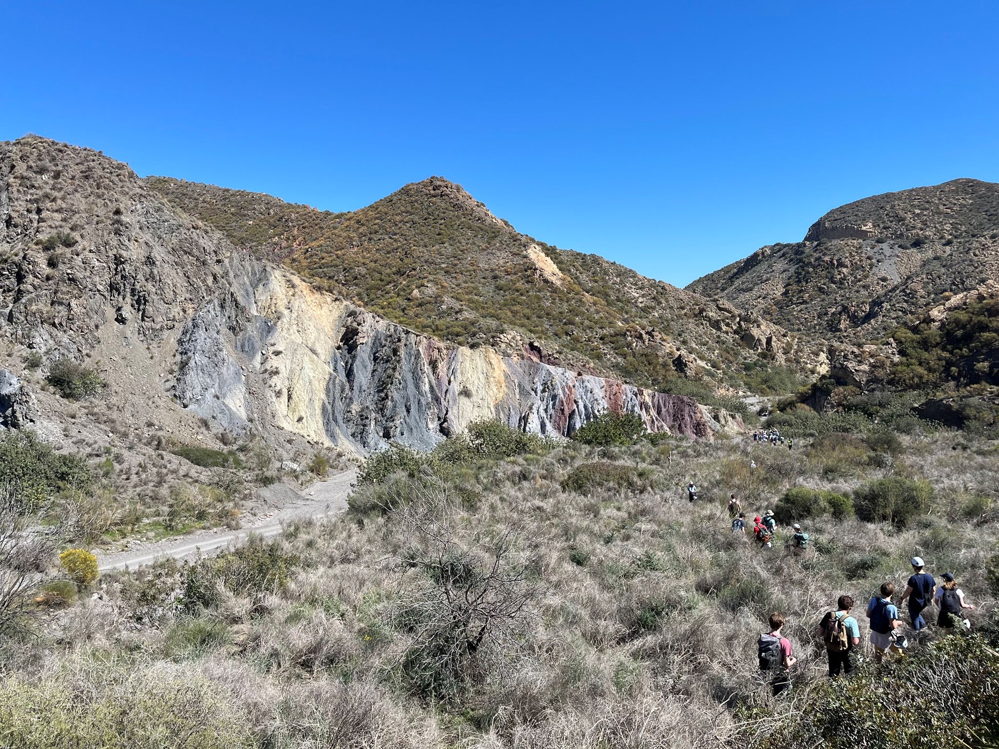
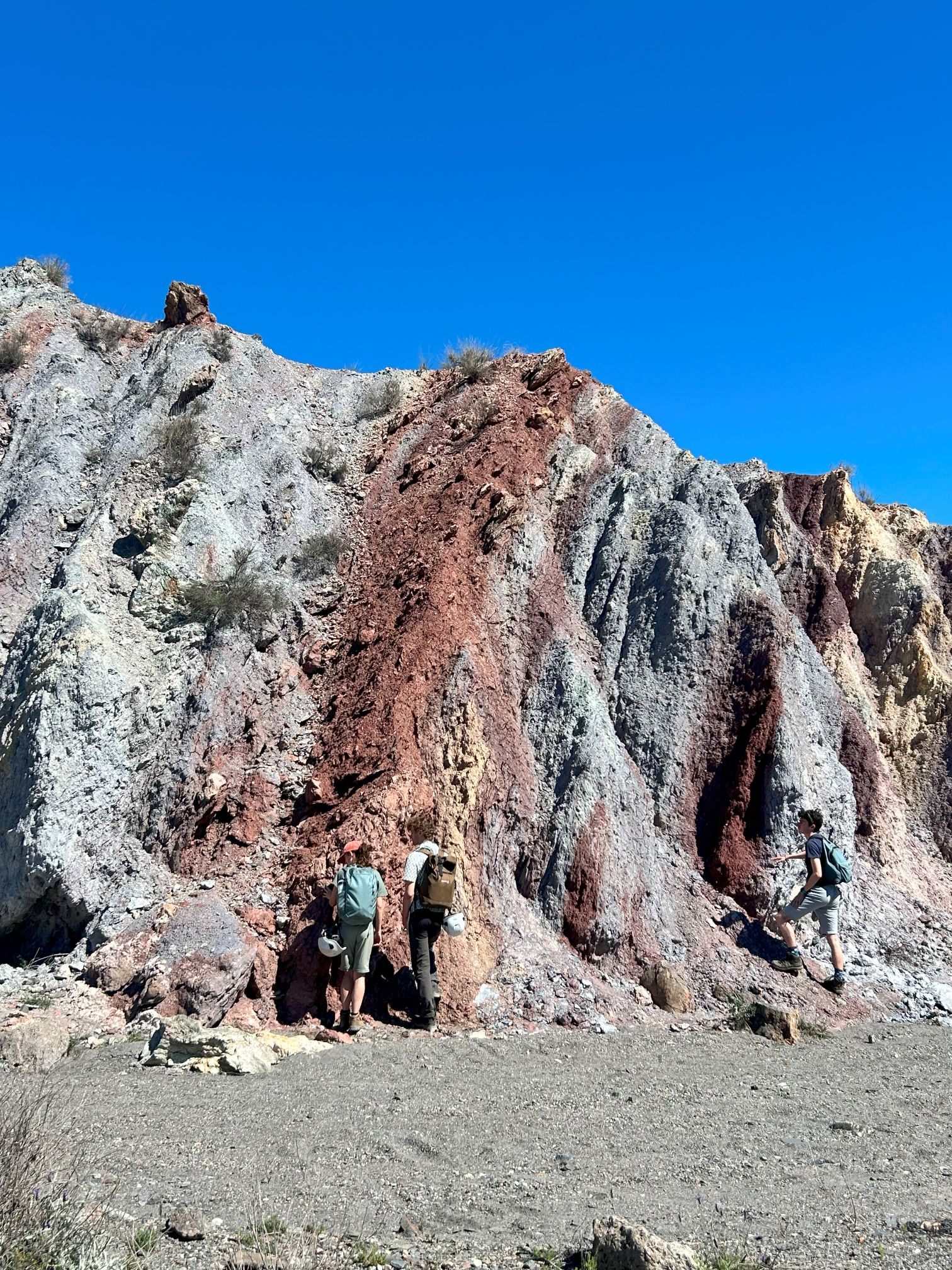
We rounded off the day with a visit to the Carboneras Fault Zone, a major NE–SW trending tectonic lineament that has remained active from the Miocene to the present day.
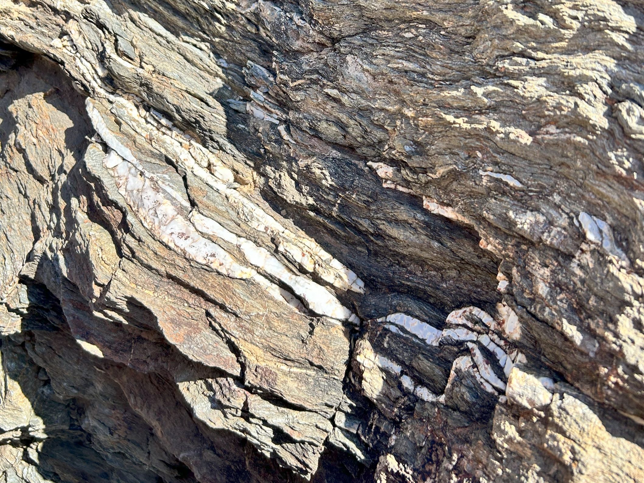
Here, we saw a beautifully chaotic array of colourful rock slivers: purplish-red phyllites from the Alpujarride Complex and black schists from the Nevado-Filabride Complex. All of these were tightly sheared within the non-planar strike-slip fault zone, offering a vivid display of wrench tectonics in action.
On the last day in the field, the group visited the Cabo de Gata volcanic zone, characterised by exclusively calc-alkaline magmatism and a dominance of andesitic and dacitic rock types. Although I missed this part of the trip, the igneous section contributes an important piece of the puzzle, adding to our week’s observations.
Our trip ended with a barbeque on the last night, followed by final presentations that tied together the week’s themes—sedimentation, metamorphism, volcanism and geodynamics—into a coherent geological narrative of the Messinian Salinity Crisis. Students not only reported on what they had seen and discussed during the day, but also brought in fun and creative moments: someone discovered a song titled Messinian Salinity Crisis, and by the end of the week it had been re-lyricised with geological references and fieldtrip jokes!
It was a satisfying conclusion to the trip, and I’m sure the memories of Mediterranean geology and sunshine will stay with all of us for a long time.