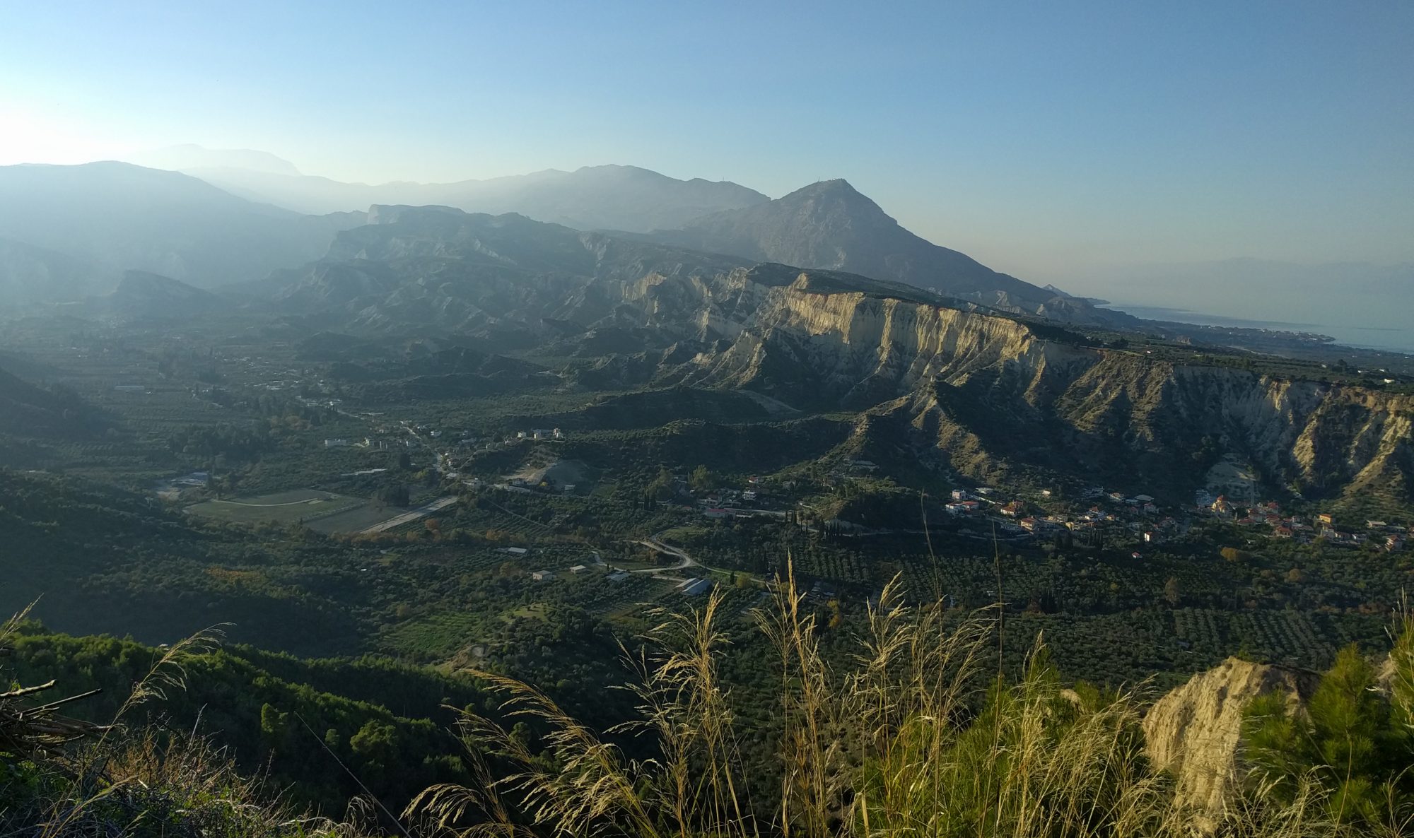
Sitting on the ridge top, looking over the expanse of rice paddies dotted with villages, and views down the valley for miles, it’s easy to be captivated by the rural landscape of Nepal.
We’d come to the Melamchi Valley, a few hours outside Kathmandu, to continue fieldwork exploring spring flow paths and their implications for silicate weathering and carbon drawdown in the Himalayas. Our team included us (Zara and Gio, Part III students), trip leader Ed Tipper, PhD student (now successful Dr) Al Knight and two university students from Kathmandu.

Unlike previous expeditions, we planned to sample during the monsoon season to investigate variations in weathering under peak rainfall conditions. Thankfully, we picked the tail end of the monsoon, so had the perfect balance of mostly dry days for spring sampling and the occasional downpour to fill up our rain collectors.
As a young mountain range, the Himalayas is an ideal place to study water-rock reactions due to its high erosion rates and contribution to the global carbon cycle by drawdown of atmospheric CO2 during mineral reactions.
Our trip was part of wider project focused on the Melamchi Valley (chosen for its steep gradient in topography and erosion rates) and funded by the Frontier Research in Earth Sciences (FRES) program in association with the NSF.
The Nepal branch of this program aims to advance understanding of the role mountains play in the Earth system, investigating areas such as topography and landsliding; chemical weathering variations, and water flow paths (which is where our trip came in!).
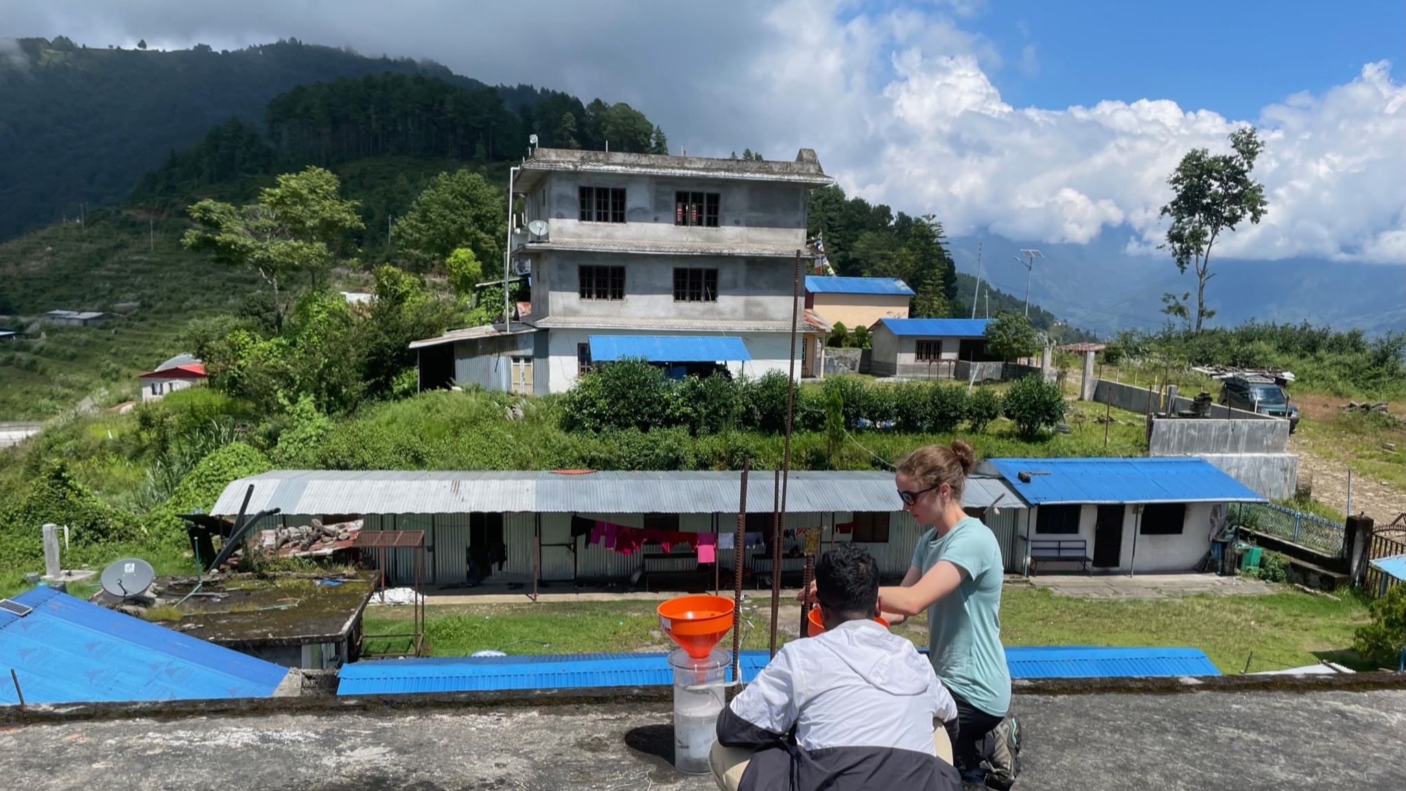
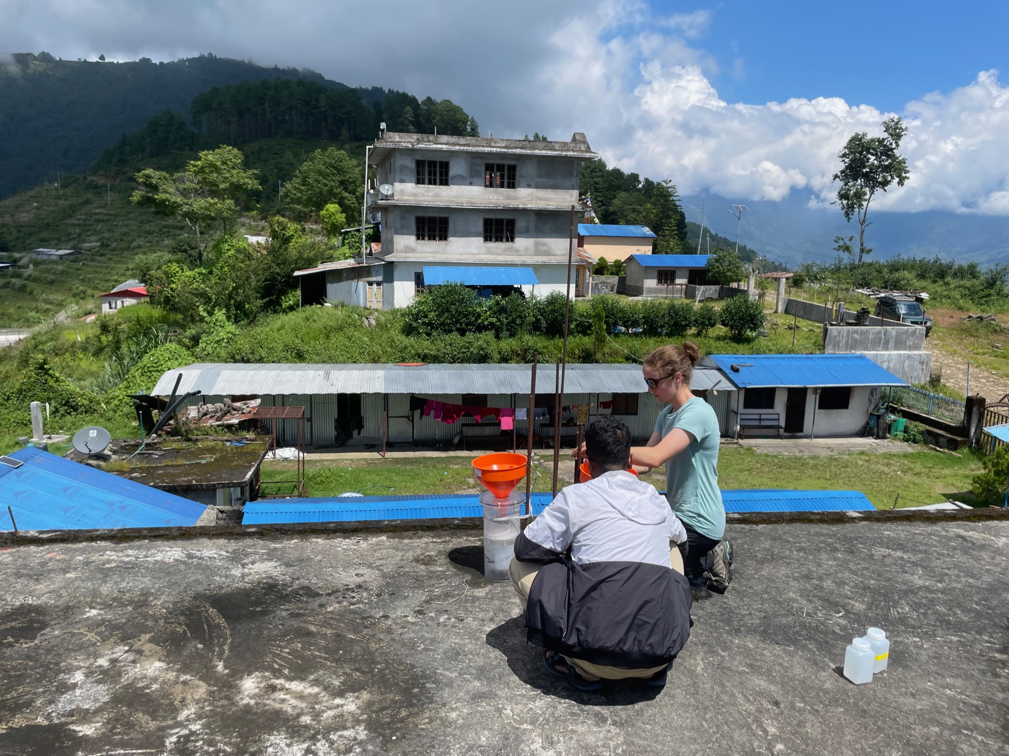
An important part of our fieldwork involved collecting monsoon rainfall samples. Past studies in Himalayan catchments like Melamchi have often relied on sparse, generic rain datasets, so we wanted to better understand the inputs to the spring system.
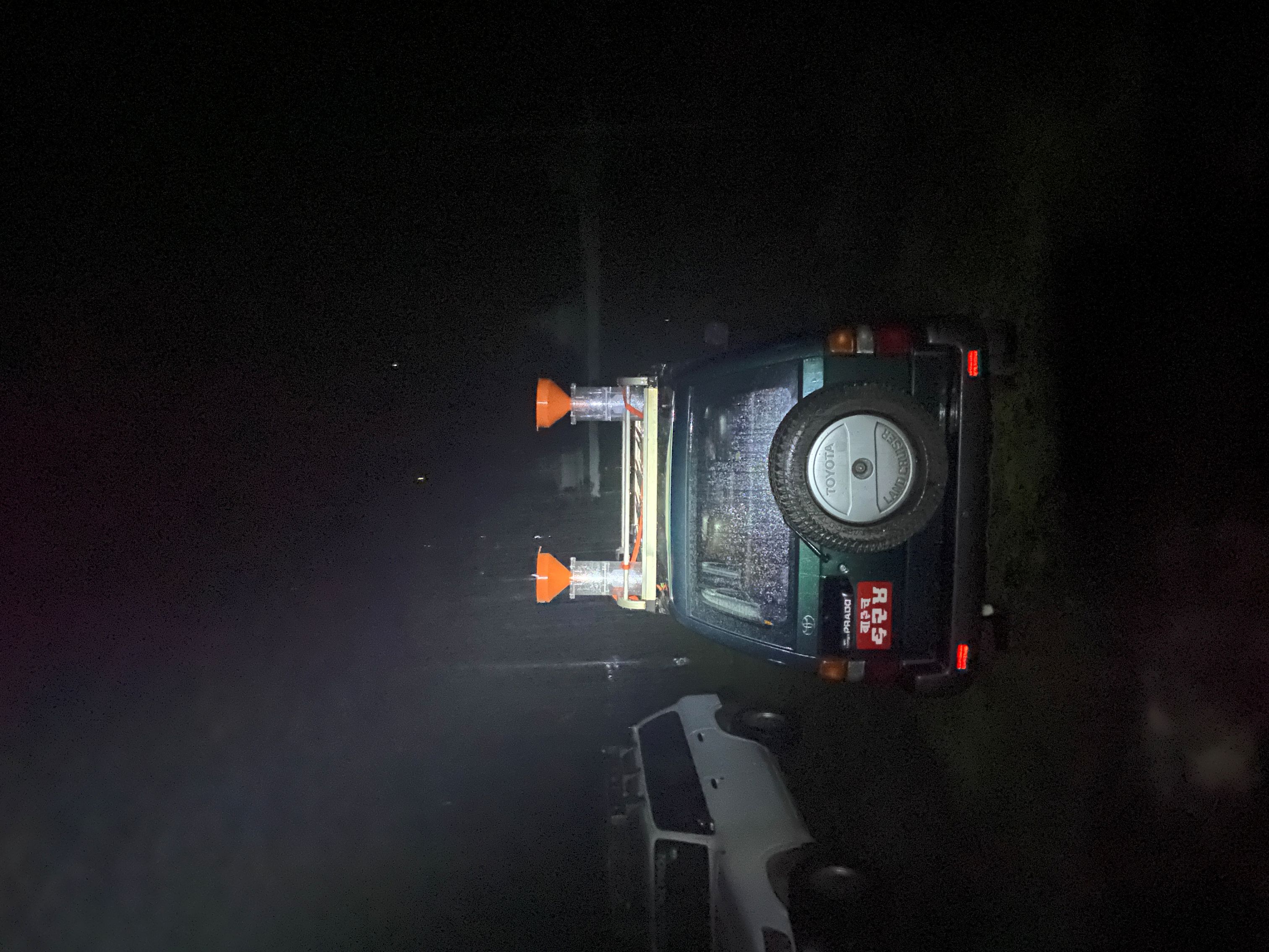
We set up custom rain collector units, spread across the 140km2 catchment to investigate spatial and temporal variability in rainfall.
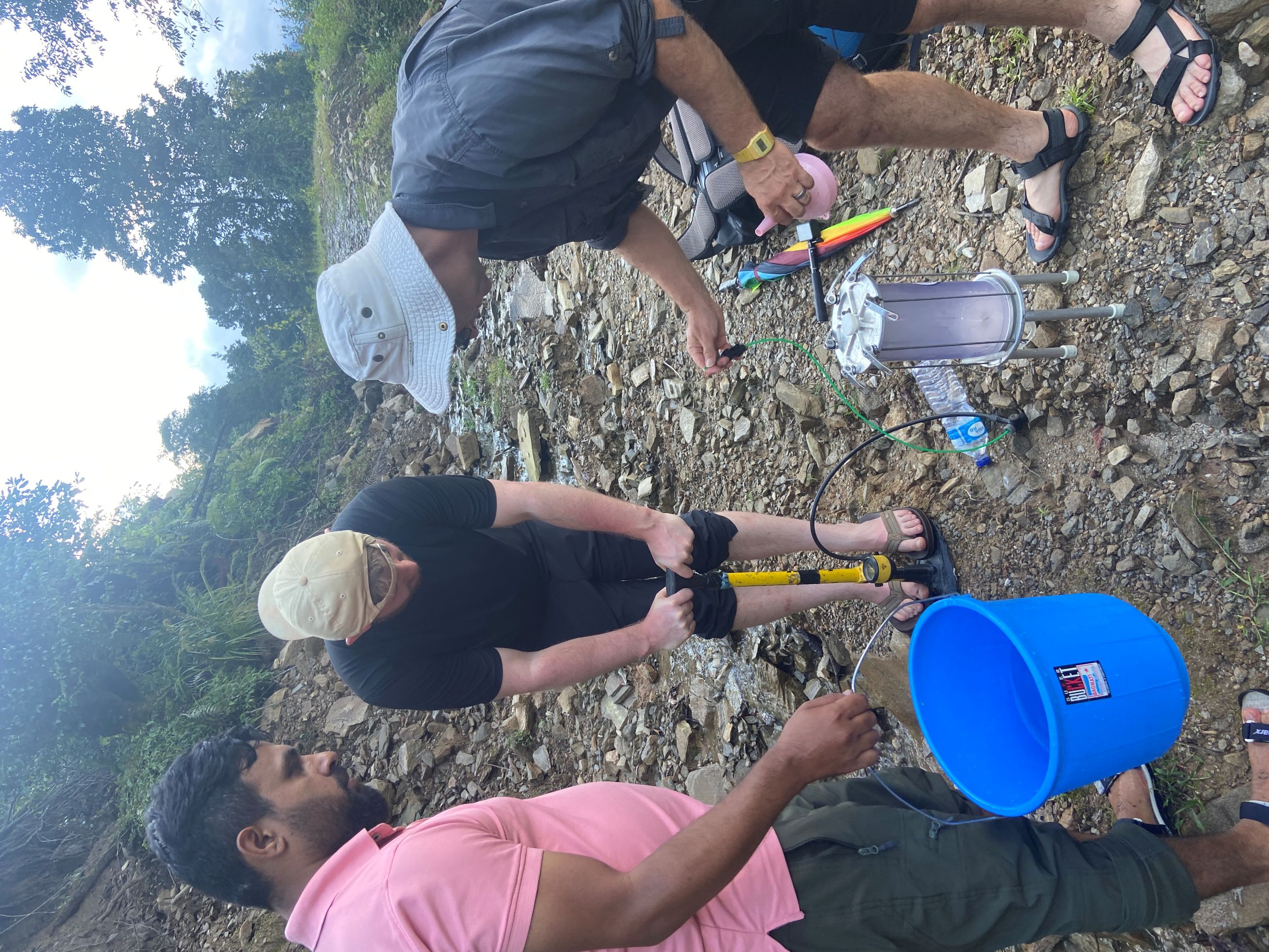

After the two weeks, we had a pristine set of monsoon rain samples and a variety of spring samples. We’re hoping to find links between the two and add the spring samples to the near-annual set of time series results at these sites, dating back to 2018.
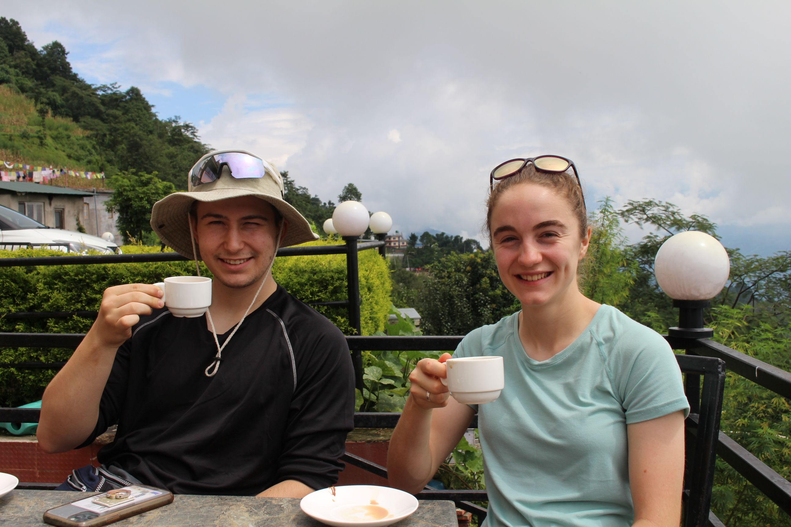
Throughout the trip, we stayed at several welcoming hotels, went through a love-hate relationship with dahl baht and drank an unreasonable amount of chai. The monsoon proved an interesting challenge overnight, when the heavy rain caused the electricity to cut out and we were left doing titrations by torchlight!
Reaching the spring sites was generally easier said than done. We’d get as close as possible by car, braving the bumpy mountain roads (we’ve never been more grateful for UK tarmac) then went the rest of the way on foot, attempting to follow last year’s GPS tracks. More often than not, we’d whack our way through vegetation or edge along rice paddy walls, only to find a clear path back on the way out!
The final hurdle was hauling 60kgs of water back home in our hold luggage, which fortunately went smoothly. Now all that’s left is to dive into the analysis! We hope our Part III projects will provide insight into water flow paths in Melamchi, and how these processes can be extrapolated to larger catchments outside of Nepal.
