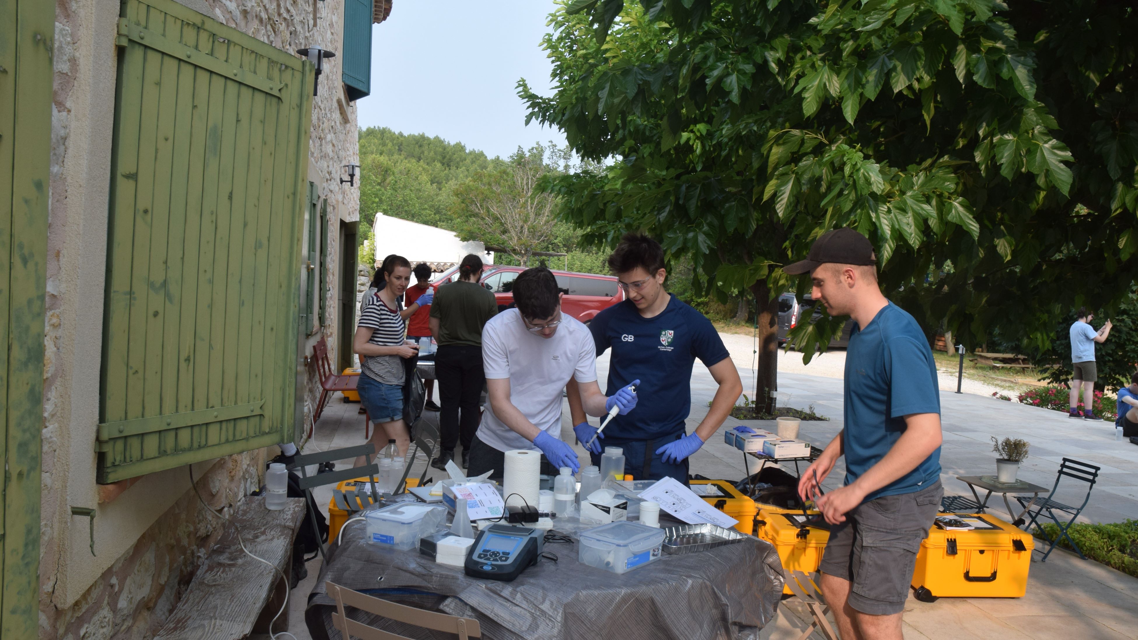
The Department recently launched its new Part II environmental geochemistry field projects as an alternative to the successful and long-standing mapping projects.
According to Ed Tipper, co-director of undergraduate teaching, “The decision reflects the diverse research areas of our teaching staff, combined with a growing student interest in pressing environmental issues. This year, 13 students enrolled in the new type of project, making it viable to develop a new field trip to train students ready for this environmental pathway.”
The following blog post is written by Tom Marquand, PhD student in the Department and demonstrator on the inaugural environmental geochemistry field trip to Provence, France.
Continue reading “Reporting on the inaugural environmental geochemistry field trip to Provence”