
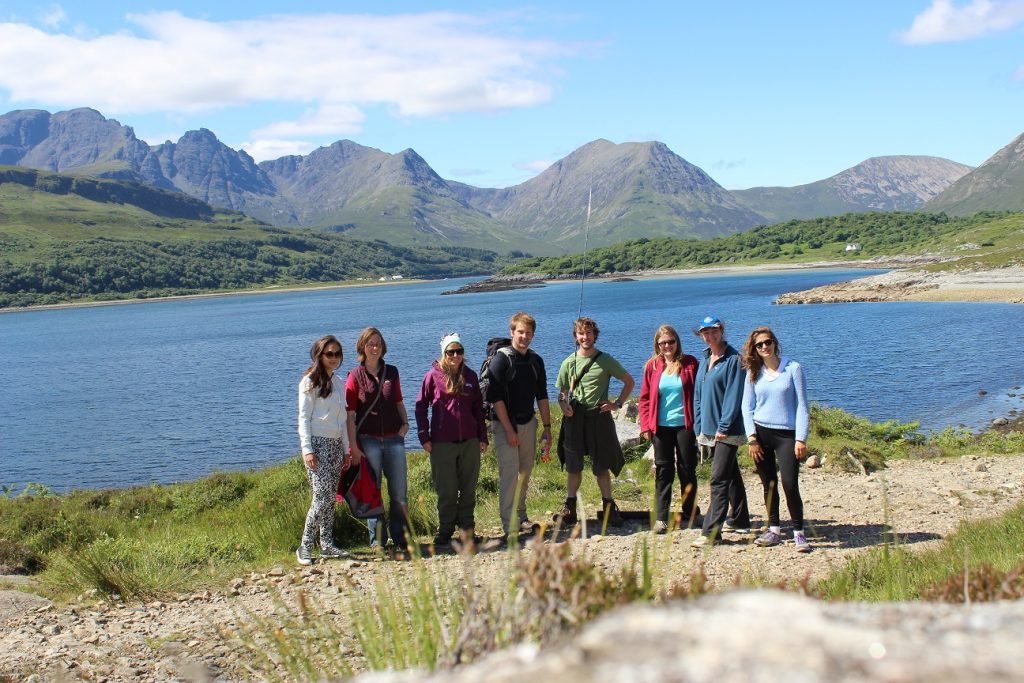
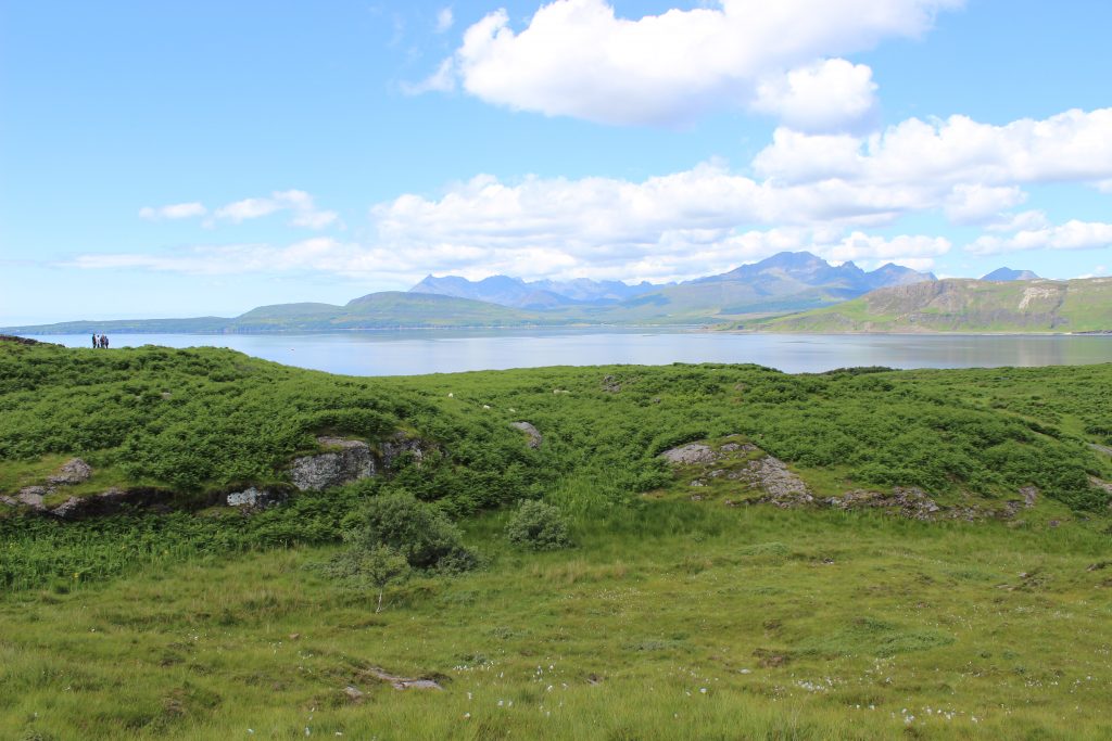
Between the 23rd of June and the 5th of July the usually tranquil village of Ord on the Sleat peninsula of the Isle of Skye once again played host to a cohort of new Part II students as they set about honing their geological mapping skills. After a few quiet years, Cambridge returned in force to the quartzite hills of the Ord window: at any one time, up to thirty four students and ten demonstrators could be spotted roaming the bogs, streams and ridges in search of contacts, dykes and fault-planes.
Following some geotourism at the Lewisian Gneiss and Moine Thrust (or Midge Thrust, perhaps?), and a resupply at the ever-dependable Broadford Co-op, mapping began in earnest on Tuesday. As if on cue, several days of glorious and hot weather arrived as people started to get to grips with the coastal section of the mapping area. At times, the temptation to join the seals in the crystal-clear waters of Loch Eishort became irresistible for both student and demonstrator alike. With each successive outcrop described, a picture of the geology started to form.
After some Saturday night festivities and a day off on Sunday, Monday brought an exploration of the Tertiary igneous geology for which Skye is perhaps most geologically-renowned. A swift dash around Kilt Rock, the Quiraing and Duntulm in the morning was rounded off with an afternoon investigating the spectacular lava formations exposed in Talisker Bay – so spectacular that we missed closing time at the Talisker Distillery on the way home! Tuesday brought another fine day of mapping, with students heading up into the hills above Ord in order to grapple with folded folds and the sly and elusive pipe-rock/cross-bedded quartzite contact. (All the quartzite is brecciated beyond all recognition anyway, right?)
Unfortunately, our luck with the weather finally ran out on Wednesday lunchtime. Despite strictest instructions to leave the bad weather back down south, the Head of Department could not prevent the heavens opening at the moment of his arrival. No amount of Gore-Tex and plastic sheeting could keep geologists or their maps dry. The final day of mapping brought sufficient relief for the students to find the Kishorn Thrust, and thus the edge of the mapping area in time for the project to be written up on Thursday night. The combination of wind and rain on the final Friday made the traditional end-of-trip destination – Loch Coruisk in the Cuillin – frustratingly inaccessible by either land or sea.
Despite the washout of the last couple of days, the combination of good times and superb geology made this trip another in a long line of successful adventures over the sea to Skye.
David Neave MSci 2006-2010, PhD 2010-2014