Following in the footsteps of Adam Sedgwick in Sedbergh

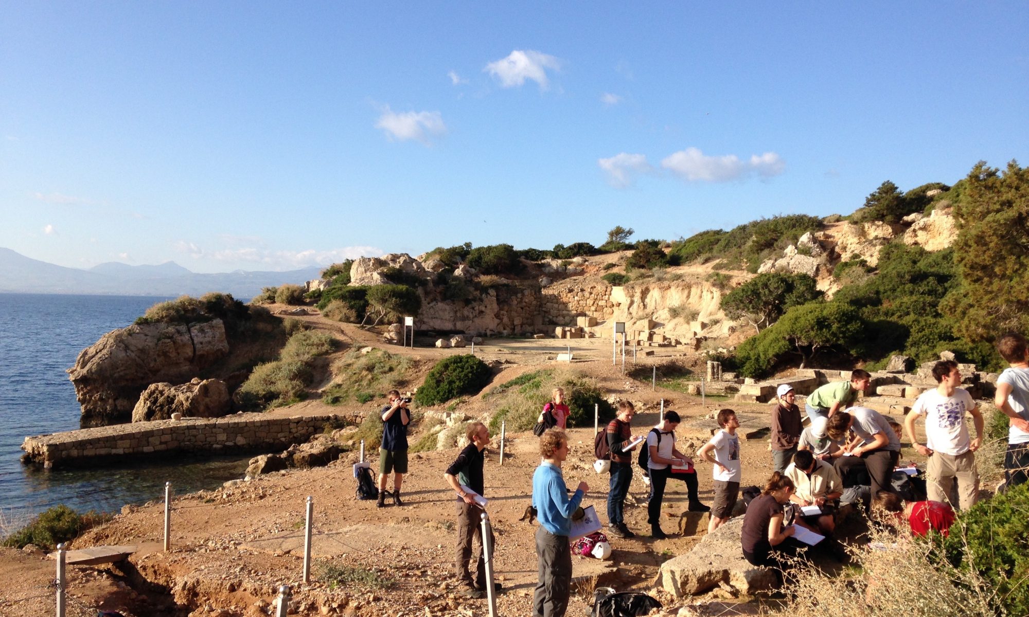
On the 23 September 2014 the new 1B students, fresh from a summer of forgetting everything they knew for their exams, disembarked from the train at the, to them, remote Oxenholme station for the Sedbergh mapping trip, led by Nigel Woodcock. Waiting to meet them from the train was local coach driver, John, a true northerner and unflappable even in the face of 60 Cambridge students, some of whom seemed to have brought the kitchen sink with them. The group squashed onto the buses and made the winding journey into the Yorkshire Dales (despite still being in Cumbria).

Continue reading “Following in the footsteps of Adam Sedgwick in Sedbergh”

Lava adventures in Central Iceland

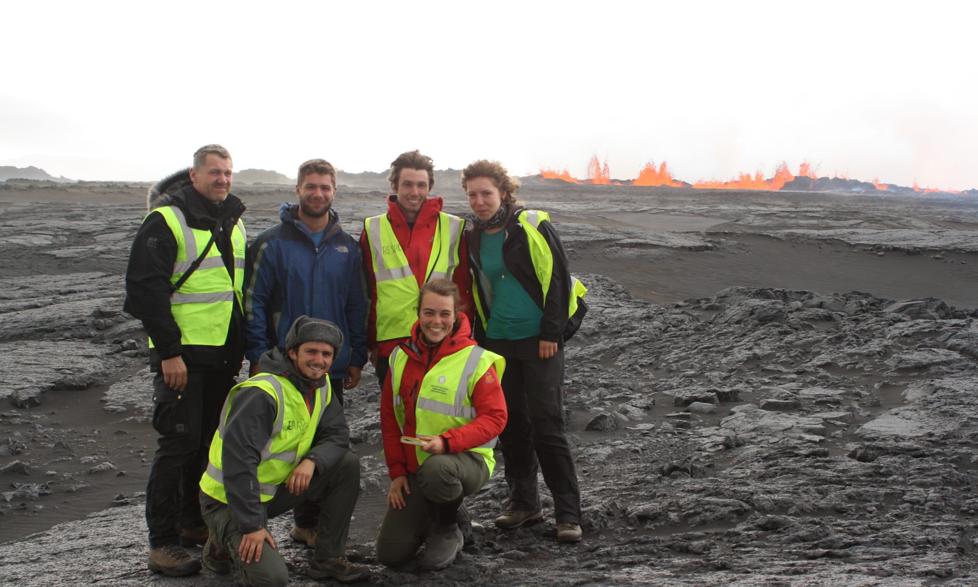
Since 2006, Professor Bob White has been operating a seismic network in the centre of the Icelandic highlands in order to understand how melt is distributed beneath the crust and hence how the crust is built. The volcano chosen is Askja, a spectacular composite volcano with 3 impressive, nested calderas. It last erupted in 1961 but its most spectacular eruption was a phreato-plininan eruption in 1875 which caused a mass exodus from NE Iceland. However, this summer, during a routine trip to download the data from the instruments it was side-lined by volcanic activity nearby.

Continue reading “Lava adventures in Central Iceland”

Trails from the Outback

Part 1 – Tracking the First Colonizers of Land

The Sun was setting fast. Only about half an hour before it sunk beneath the horizon. But that was just perfect. For that’s when the Sun’s low, raking rays clipped the surface of Tumblagooda Sandstone, perched high above the Murchison River gorge in Western Australia. And there, running across the surface, like sets of miniature railway tracks, were three sets of parallel rows of little footprints made by multi-legged arthropods about 430 million years ago. Each trackway was as wide as my hand. One animal had followed another, then veered off to the left. Another, more faint set, had cut across them, moments later. Each trackway marked the activity of these animals for maybe just 20 seconds of their lives hundreds of millions of years ago.

Continue reading “Trails from the Outback”
Honing geological mapping skills on the Isle of Skye

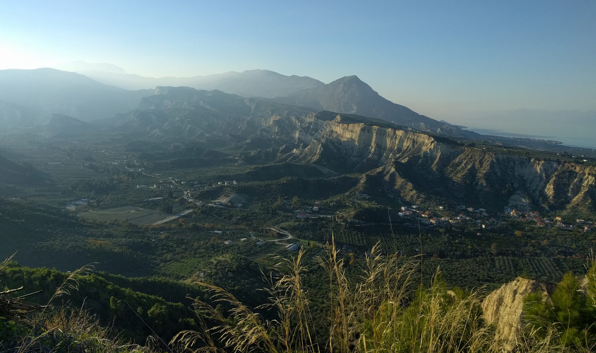
Between the 23rd of June and the 5th of July the usually tranquil village of Ord on the Sleat peninsula of the Isle of Skye once again played host to a cohort of new Part II students as they set about honing their geological mapping skills. After a few quiet years, Cambridge returned in force to the quartzite hills of the Ord window: at any one time, up to thirty four students and ten demonstrators could be spotted roaming the bogs, streams and ridges in search of contacts, dykes and fault-planes.

Continue reading “Honing geological mapping skills on the Isle of Skye”

Unpicking 500 million years of geological history on Arran

Nothing brings students together like a good field trip.

2014’s third batch of 36 Cambridge 1A undergraduate geologists arrived by coach to the Scottish coastal paradise of Ayr on the 27th April. The traditional Station Hotel (part gothic mansion, part haunted house, part correctional facility) was replaced for the first time with the bright lights of the shiny Ayr Mercure Hotel where students and staff alike gratefully sank into their plush pillows after the 8 hour trip from Cambridge.

Continue reading “Unpicking 500 million years of geological history on Arran”