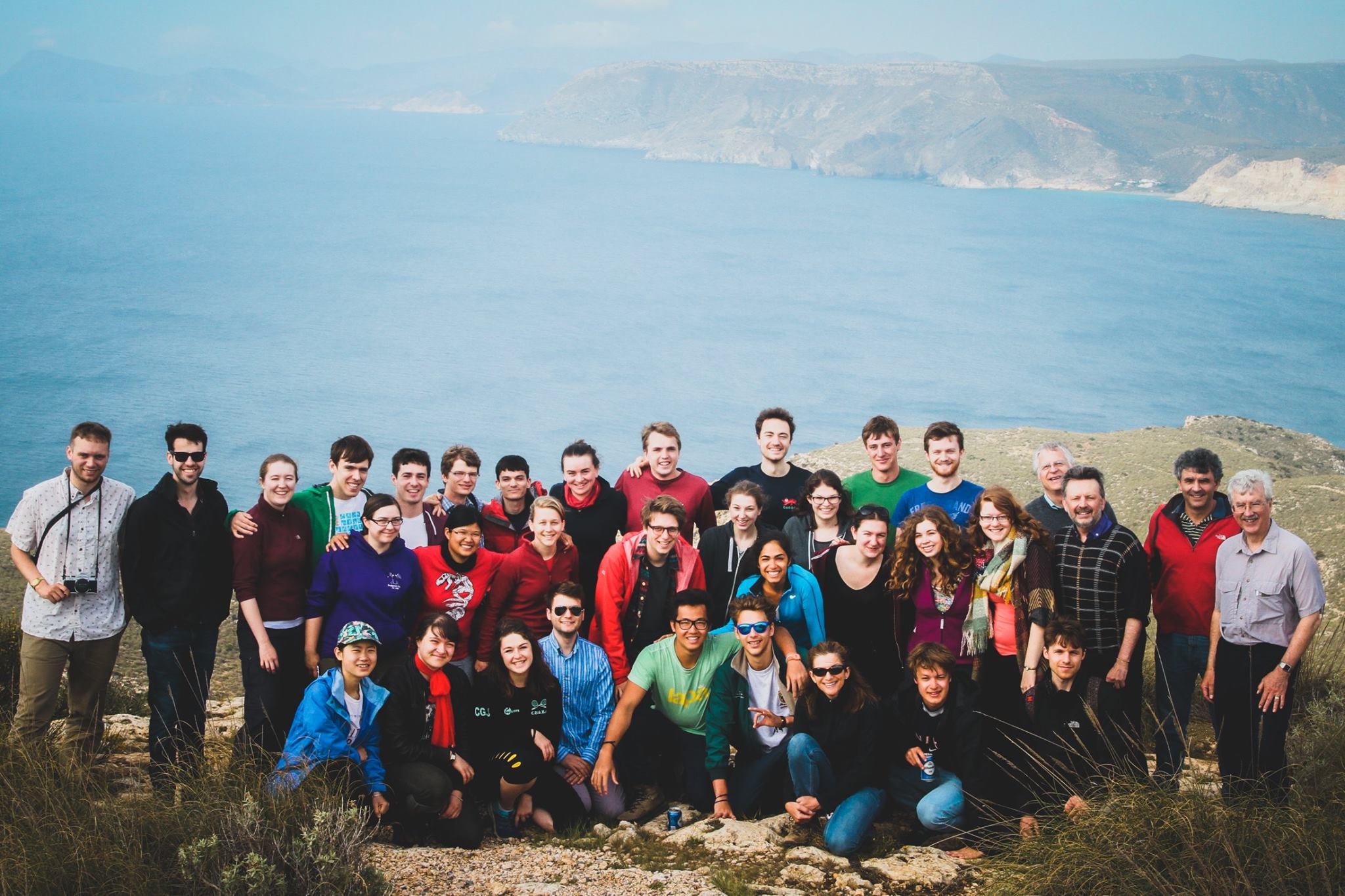
Spain 2016 outshone Spain 2015 the moment the plane took off from Gatwick Airport. David Hodell, our mighty leader, breathed a sigh of relief when French Air Traffic Control decided not to strike at the same time as the Cambridge fourth-year Earth Sciences fieldtrip. 29 students and 8 demonstrators left the drizzle behind us and landed in sunny south-east Spain. A quick change into shorts in the airport loos and we were ready for terrible sunburn.
Greece 2015: faults, fissures, footwalls and more
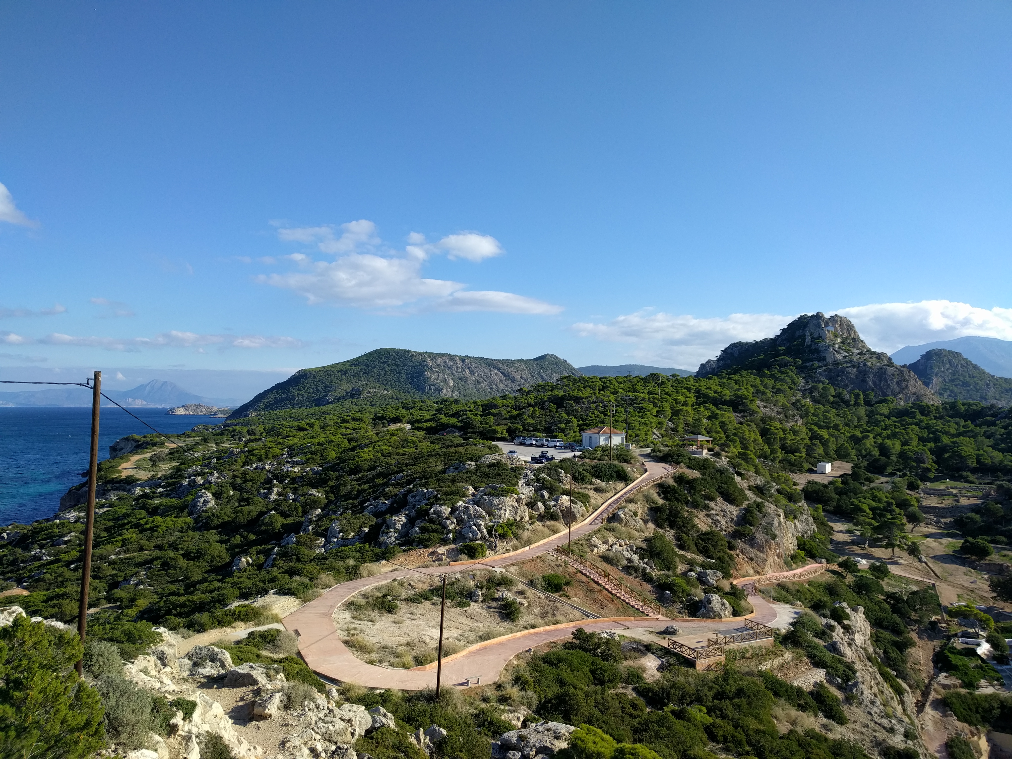
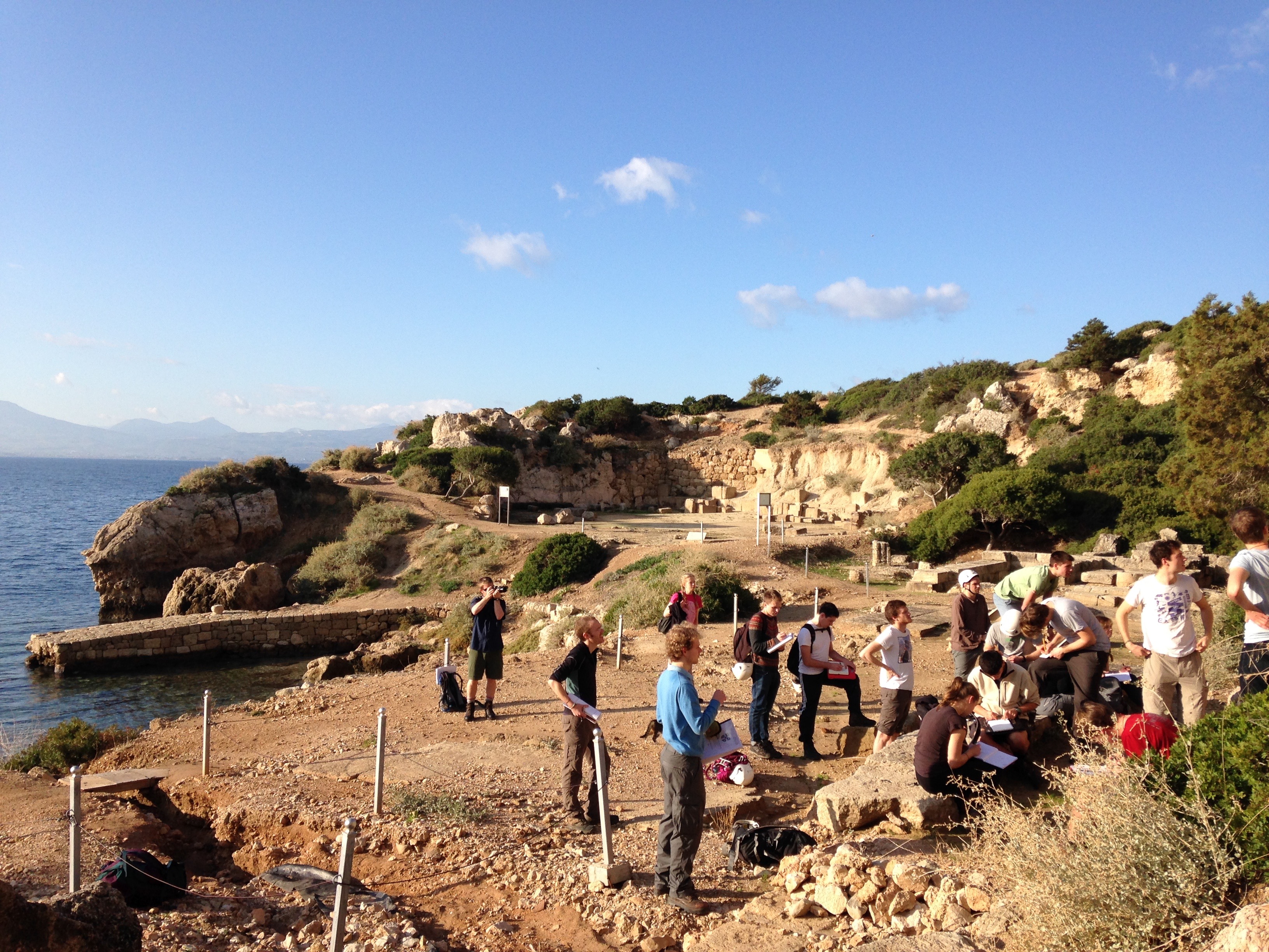
The end of Michaelmas had arrived and it was time for 21 Part IIs and 8 demonstrators to head for Greece. By coach and plane we travelled to Athens, where we picked up our minibuses (without telling the hire company how much off-roading we had planned!) and headed for Loutraki…
Continue reading “Greece 2015: faults, fissures, footwalls and more”
Crossing the Moho and exploring the crust in Cornwall
This year’s Cornwall leg of the SW of England field trip was bigger and sunnier than ever – tanned faces, record number of students, big smiles and lots of lovely igneous and metamorphic rocks. The trip starts in Falmouth to show the second year undergrads some world-class geological localities and then to Bude for impressive structures associated with the formation and closure of the Culm Basin. The challenge for our enthusiastic second years being how to align all this new geological information with the broader tectonics of the Variscan Orogeny and Devonian & Carboniferous geology.
Continue reading “Crossing the Moho and exploring the crust in Cornwall”
First years get a taste of being a ‘real geologist’ in Arran
The annual first year undergraduate field trip to the Isle of Arran, Scotland took place as usual at the end of March and beginning of April. This is always an exciting trip – first years get their first taste of what being a ‘real geologist’ is all about and the demonstrators get to revisit the truly spectacular wealth of geology the island has to offer.
Continue reading “First years get a taste of being a ‘real geologist’ in Arran”
Admiring the handiwork of active tectonics in Central Greece
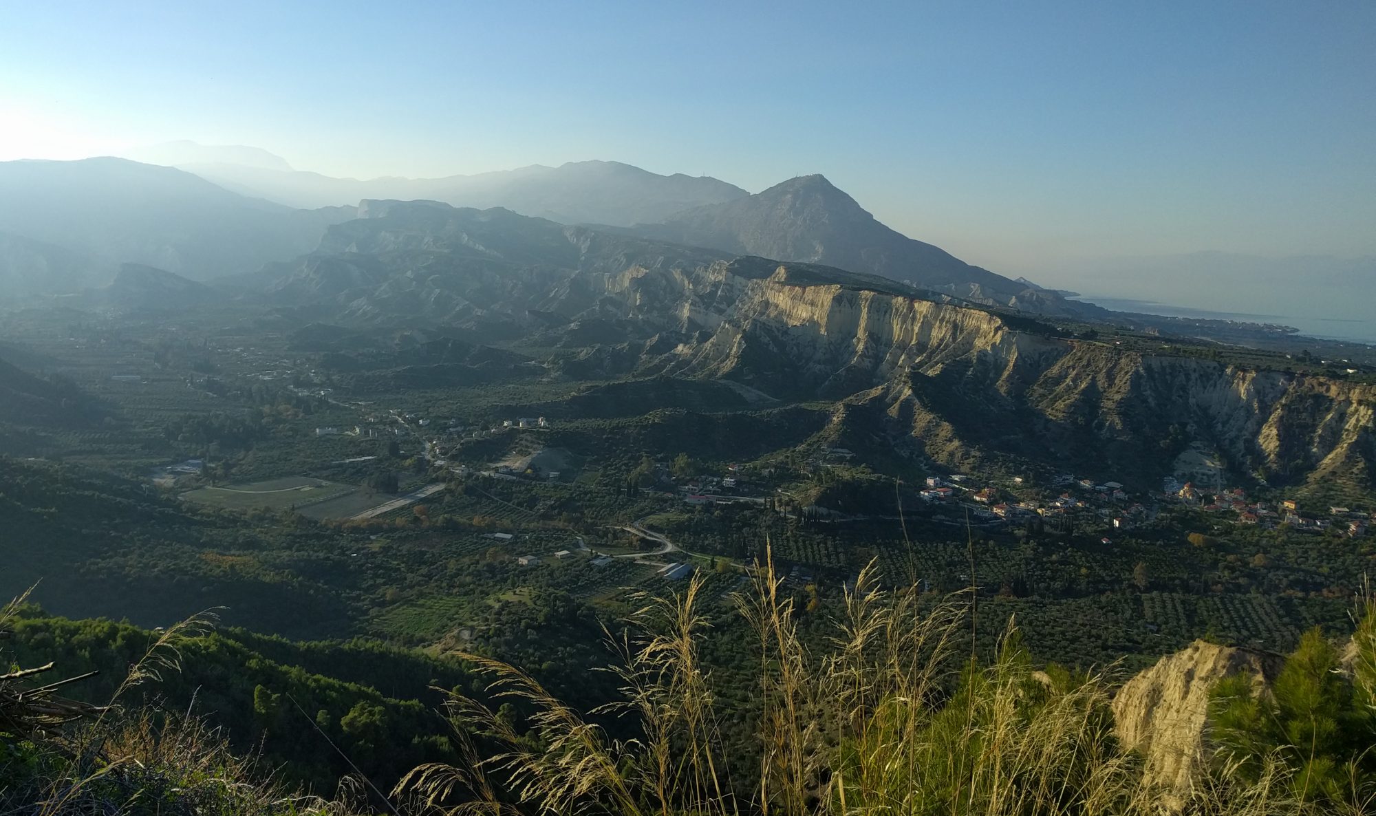
On the 9th of December, the second group (party B) of 16 part-II students set off to sunny Central Greece. This area is one of the most tectonically active regions in the world and experiences regular large (4-6 on the Richter scale) earthquakes. This relatively fast movement, together with the large amount of karstic limestone in the area, allows for evidence of vertical uplift or subsidence (e.g. on the coasts) to be well preserved and provides students with an excellent opportunity to visualize active continental extension. The aim of the trip is for students to explore, observe and then interpret earthquake focal mechanisms, surface expressions of faults (fault scarps) and vertical coastal movements.
Continue reading “Admiring the handiwork of active tectonics in Central Greece”
From Corinth to Evia: active tectonics in central Greece
The fastest extension on Earth, fault-controlled coastal motions and even the possibility of some winter sun: what better way to consolidate the Part II geophysics course than a field trip to Greece?
Continue reading “From Corinth to Evia: active tectonics in central Greece”
Following in the footsteps of Adam Sedgwick in Sedbergh
On the 23 September 2014 the new 1B students, fresh from a summer of forgetting everything they knew for their exams, disembarked from the train at the, to them, remote Oxenholme station for the Sedbergh mapping trip, led by Nigel Woodcock. Waiting to meet them from the train was local coach driver, John, a true northerner and unflappable even in the face of 60 Cambridge students, some of whom seemed to have brought the kitchen sink with them. The group squashed onto the buses and made the winding journey into the Yorkshire Dales (despite still being in Cumbria).
Continue reading “Following in the footsteps of Adam Sedgwick in Sedbergh”
Honing geological mapping skills on the Isle of Skye
Between the 23rd of June and the 5th of July the usually tranquil village of Ord on the Sleat peninsula of the Isle of Skye once again played host to a cohort of new Part II students as they set about honing their geological mapping skills. After a few quiet years, Cambridge returned in force to the quartzite hills of the Ord window: at any one time, up to thirty four students and ten demonstrators could be spotted roaming the bogs, streams and ridges in search of contacts, dykes and fault-planes.
Continue reading “Honing geological mapping skills on the Isle of Skye”
