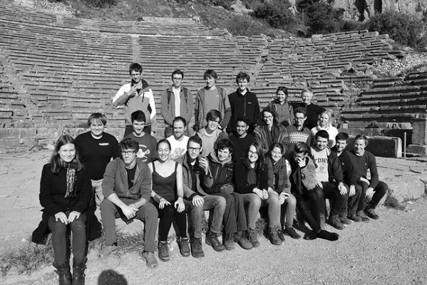
The end of Michaelmas had arrived and it was time for 21 Part IIs and 8 demonstrators to head for Greece. By coach and plane we travelled to Athens, where we picked up our minibuses (without telling the hire company how much off-roading we had planned!) and headed for Loutraki…
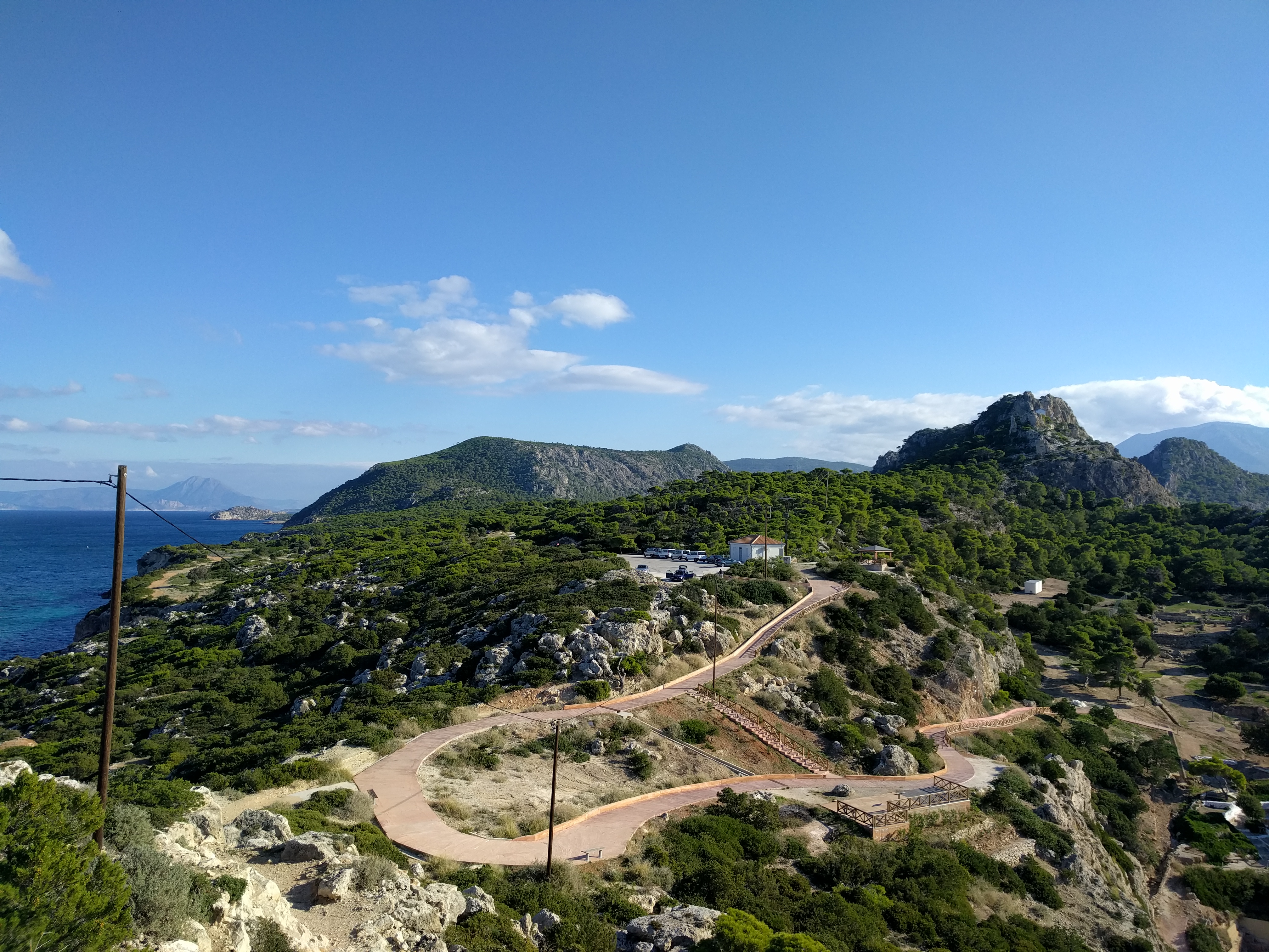
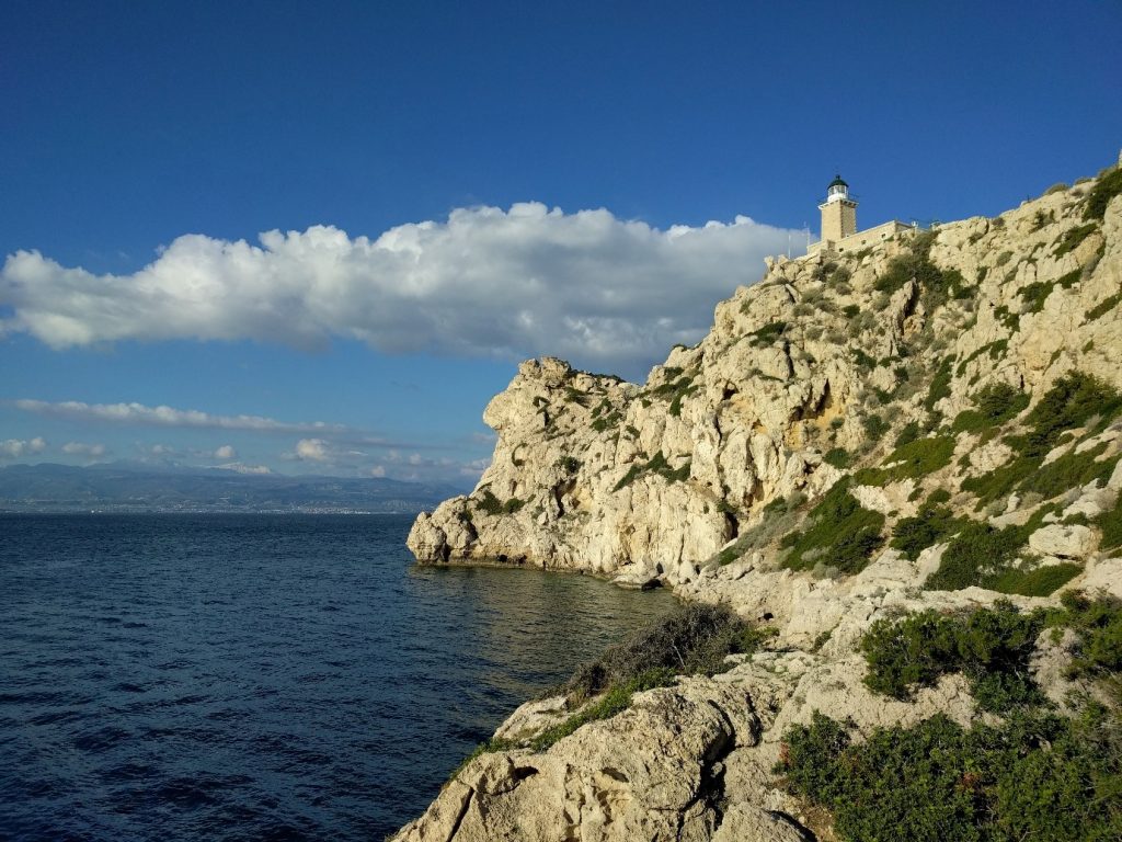
Woken by birdsong and lure of free wifi at breakfast, we made it out at 8am sharp on for our first day in the field (a feat that we managed every day, to the great shock of the demonstrators). We had a whistle stop tour of the Perachora peninsula, getting our eyes in to Greek geology and geomorphology. We found various notches riddled with lithophaga boreholes that recorded past sea levels, which we could use to determine uplift rates. It was very useful to have Nick Butterfield with us to point out the diverse fauna in the limestone caps, as well as holding the other lecturers to account on the classification of algal mats. The take home message was that faulting is relative, so that local downthrown sides of small faults may have been uplifted overall due to a larger fault in the area.
In the evening we headed out to our first Greek restaurant, sampling non-fossilised seafood and copious amounts of feta before being stopped on the streets of Loutraki by the owner of the infamous Monkeys bar. A few drinks and a little karaoke later the owners were content with their five consecutive years of Cambridge student visits (and had the pictures to prove it)!
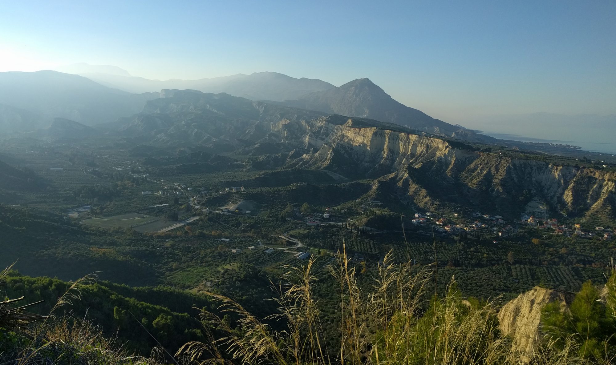
Day two started with a long road trip to the western end of the Gulf of Corinth where we stopped at the 1861 fault plane, having driven under, onto and up an unfinished Greek motorway. If the Greeks ever manage to finish their new motorway, we might never visit this again. Then again, this is Greece, so we can expect a few more years of visits yet…
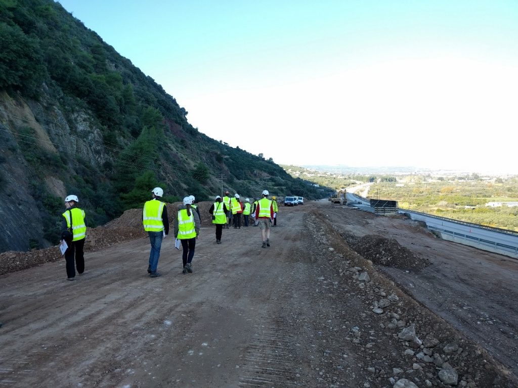
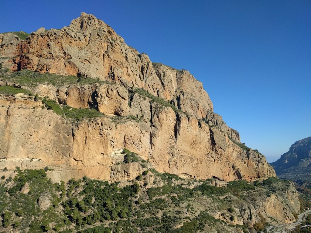
Later on we were faced with the extremely impressive 800m tall Gilbert delta, showing that there had clearly been a lot of uplift in the area. Putting on our BP sponsored hard hats we did a back of the envelope calculation to work out its reservoir potential (even if there was no source, migration pathway or cap – but hey, at least we tried). After a drive back down the Zemeno terraces we were beginning to understand how the geomorphology was inextricably linked to the structure: each terrace recorded a peak in sea level due to the high rates of uplift, and there were more terraces in the west as the uplift rate was highest on that side of the Gulf.
We began day three at a Roman quarry with some confusing dips that seemed to suggest an antiformal structure but without any deformation. Students and demonstrators alike struggled to agree whether it formed underwater or if it had been shaped by the wind and waves. Something for future years to figure out perhaps…
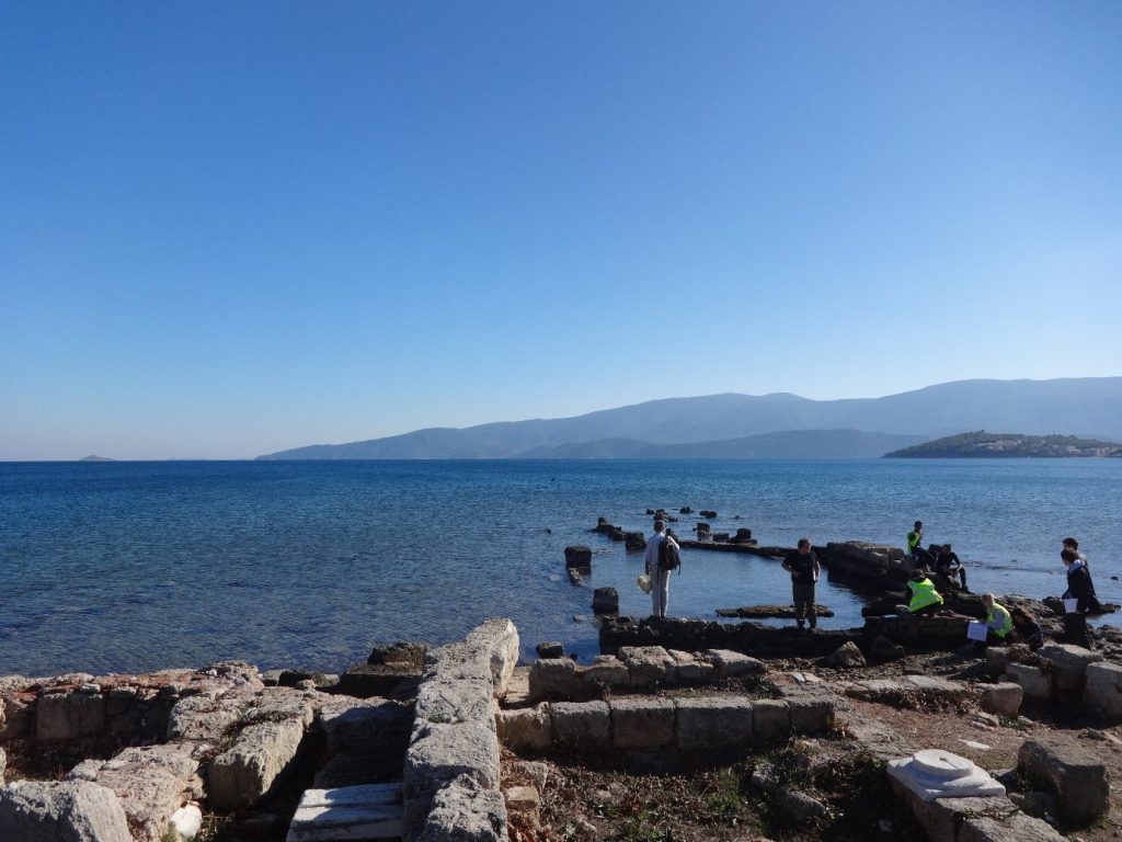
After a lovely lunchtime swim (i.e. avoiding the sea urchins) around the sunken ruins at Kenchreai (clear evidence of subsidence) we headed back to the fantastic man made cross section that is the Corinth canal. We could clearly see how the strata had been faulted and that there had been a lot of subsidence here, contrary to the evidence found on other days in this area. Therefore, this set of sediments records a much older regime of local subsidence, well before the more recent uplift.
Finally, we made our way to Volcano Land (sadly it’s not yet earnt the name Volcano World given on some previous blogs) to see our first evidence of igneous activity from the subducting crust to the south. The fumerole caves and abundance of minerals proved interesting, despite the appetising smell of rotten eggs…
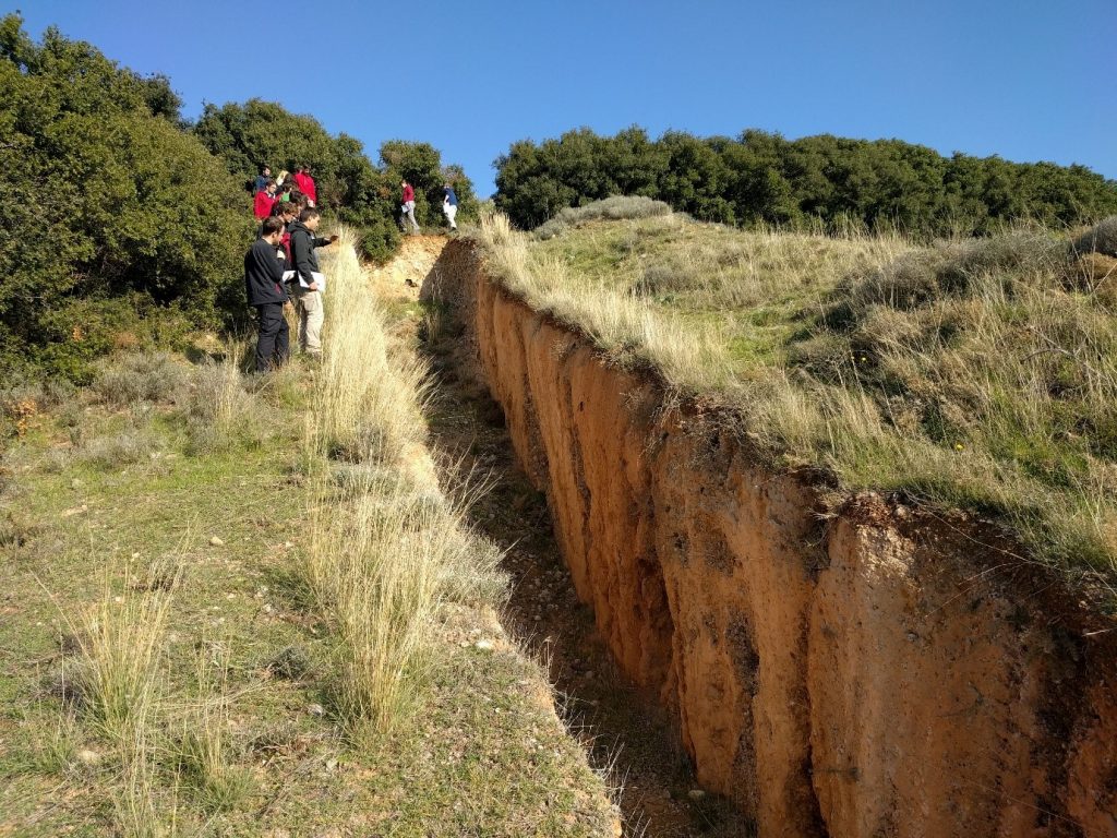
On to day four and after a quick pack up we left the lovely hotel in Loutraki to head north to Kamena Vourla, tracing the faults that lay between the Gulf of Corinth and the Gulf of Evia. We saw some very small fault surfaces with deep vertical fissures (no notebooks were lost to the abyss this year) as well as some man made trenches that had been used to infer palaeo-seismology, according to our resident ancient fault hunter Christoph Gruetzner.
After another beautiful lunch stop (Nick McCave, aka the Sea Thermometer, didn’t swim, so nobody did) we headed to James Jackson’s ‘favourite’ fault surface: the Arkitsa fault. With a huge amount of exposure, clearly consistent slip vectors, mirror-like polished surfaces and many a scree slope, this fault had it all (including some new landscaping, with an attractive plastic sheet and weed cover over the old landfill site!)
The next day was another packed full of faults, fans and basin fills! We hopped along the various half-graben taking in some incredible views of Parnassos (though the top was covered by the clouds) and the drainage divide between basins. The extent of the incising rivers clearly showed the wavelength of the uplift, matching the estimates of the fault depth.
We rounded off the day with a trip to Thermopylae doing our best Gerard Butler impressions at the 480 BC battle site. This. Is. Geology! We saw how the extent of the Gulf has retreated over the last few millennia, with over 20m of travertine deposited next to the prokaryote-rich hot springs (yum, more rotten eggs!)
In the evening, after we gave the last of our talks, James explained the trip so far. Suddenly Greece made sense with one pull-apart of a piece of paper! We heard about the amazing work that Mary Goldsworthy did when she came on this trip, and felt inspired (or possibly shocked) that she worked it all out so quickly. So, the recent geology was now clear to us, but what happened before all this faulting…
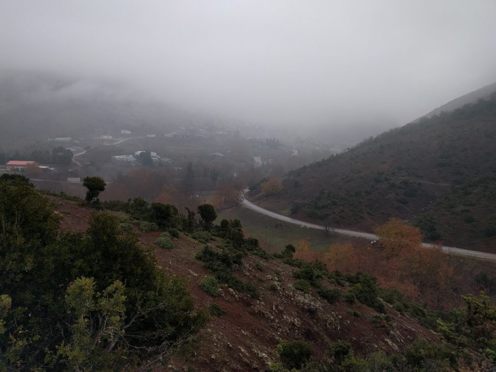
For the final two days we travelled even further back in time to Othris. Unfortunately, the weather turned from perfect sunshine to fog and cloud, so we had to imagine the beautiful limestone cliffs in the distance. With a walk through a Tethyan sedimentary sequence and ophiolites we became increasingly confused by the jumble of rock types that made up this melange. However, we were reassured that it was meant to be confusing and that there are still some big questions about how the environment can switch from supposedly deep marine red muds to conformable shallow limestones in the space of a few metres.
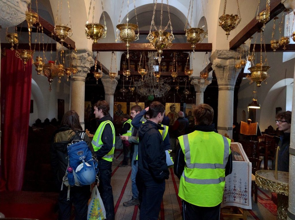
After a group meal at a local taverna we set off on our final day to see some more Tethyan rocks, units that are similar across the whole of Eurasia. We had our lunch next to the earthquake-abandoned Xenia monastery after having a very special visit inside for the first time in over 30 years of this trip!
In the afternoon we attempted a sketch exercise on a confusing road-cut, where many of us learnt that we sometimes need to skip some of the detail so we can get a more informative overall picture (and that we may not be that good at keeping to deadlines). At the ‘Final Outcrop’ (cue epic song) we had a metamorphic mineral hunt in a brand new road cutting. There is so much exposure there now that you don’t have to have Tim Holland’s super-powers to find garnets!
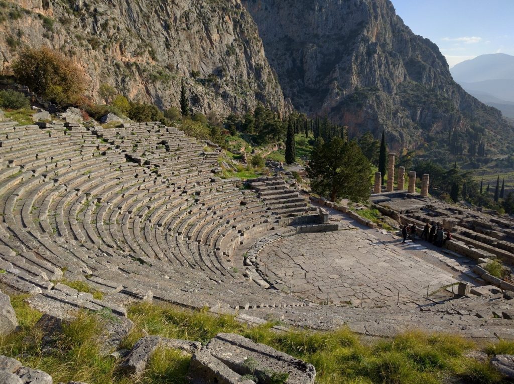
And so it was time for our last day in Greece. The day we could be tourists (though great views and a car park fault plane kept us thinking about geology). Stops at the ancient city of Delphi and 1000 year old Osios Lukas monastery went down a treat with the whole group, as did the first 30 seconds of Matthew Kemp’s Greece song before we were asked to stop being theatrical in Delphi’s ancient theatre…
With old outcrops fading and new outcrops appearing (thanks, in both cases, to generations of keen geologists and eager Greek road builders) Greece is sure to remain an exciting trip for many years.
Especially when you fly BA, with a well-stocked bar and lovely cabin crew. With a PA announcement: “Passengers, and Cambridge students, please return to your seats for landing at London Heathrow” Greece 2015 was over…
Matthew Kemp Part II
Greg Palmer Part II
