
How does subduction start? The answer to this question remains enigmatic and controversial. The process of subduction, which drives global plate tectonics and helps to shape the Earth as we know it, began as early as 4.1 Ga, but how the first subduction zone initiated remains unknown. Some have argued that the plate tectonic cycle was kick-started by spontaneous subduction at passive continental margins, yet such a phenomenon has thus far not been observed in a modern plate tectonic setting. Consequently, scientists have a very limited understanding of what mechanisms may initiate spontaneous subduction.
One area of the world that may hold fresh clues about how subduction may nucleate at a passive margin is Sulawesi in eastern Indonesia. This region is far from the long subduction arcs that generate so-called megathrust earthquakes, and potentially destructive tsunamis, with some regularity. Instead, more unusual earthquakes tend to occur, which are also driven by subduction zone dynamics. For instance, the magnitude 7.5 earthquake that struck Palu in Sulawesi in September 2018 was caused by displacement along a transform fault, controlled by a subduction zone in North Sulawesi. This earthquake was also unusual in generating a 6 m tsunami, which does not normally happen for an earthquake that primarily results from horizontal displacement.
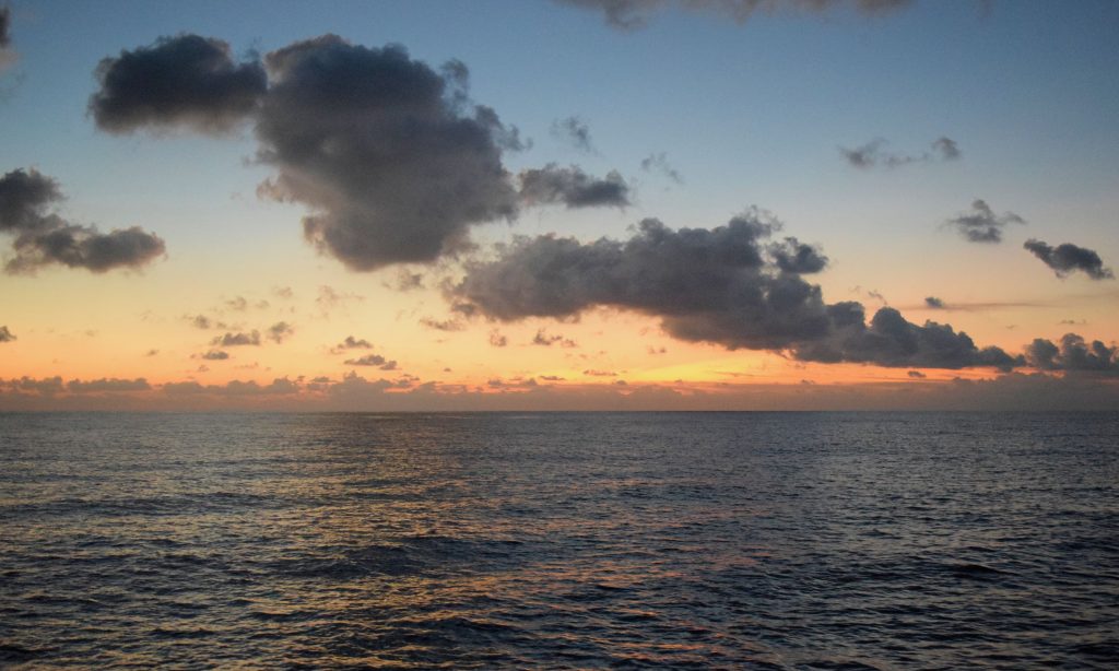
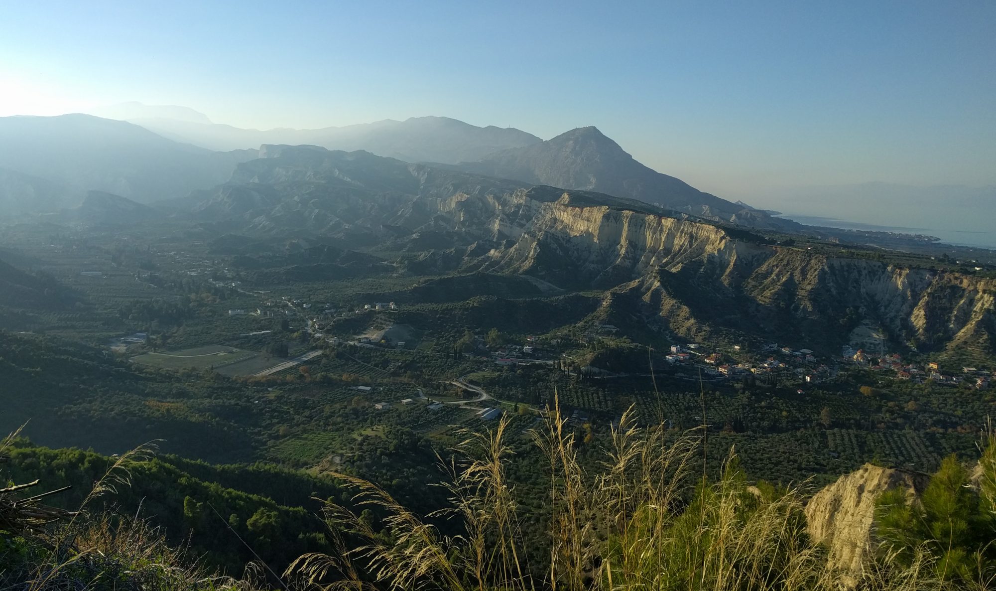
The North-Sulawesi subduction zone is part of a particularly complex system of deformation that involves the nearby Philippines Arc to the east and Banda Arc to the south. The Celebes Sea, which is ~47 Myrs old, has been subducting southward underneath North-Sulawesi since 5 Ma. A long sinistral strike-slip fault (the Palu-Koro Fault) acts as a crucial moderator between east Sundaland (the southern limit of the Eurasian plate), the Celebes Sea, and Sulawesi. Intriguingly North-Sulawesi, which is part of the overriding plate, exhibits no volcanic activity and has a very limited accretionary prism (although in the east a volcanic chain is present that connects to the arc associated with westward Molucca Sea subduction). This unique tectonic setting makes it an ideal location to study subduction initiation on a recent passive margin. A group of scientists from Cambridge, Indonesia and China have come together to undertake an ambitious amphibious seismic experiment. This project involves the deployment of 20 land stations in northern Sulawesi and 27 Ocean Bottom Seismometers (OBS) in the southern Celebes Sea and Makassar Strait, which also spans the region offshore of Palu, where the large earthquake occurred in 2018.
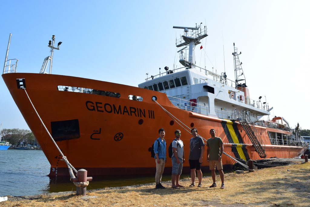
Organising a marine survey is similar to conducting an orchestra. As well as gathering a large ensemble of instruments and personnel, you have to coordinate different sections to work in harmony. The research vessel ‘GEOMARIN III’ from the Marine Geological Institute of Indonesia, the OBS units from the Chinese Academy of Sciences, the survey permission obtained with the support of the Institut Teknologi Bandung; all had to be carefully coordinated to ensure that the cruise to the Celebes Sea from Cirebon (near Jakarta) departed in mid-August.
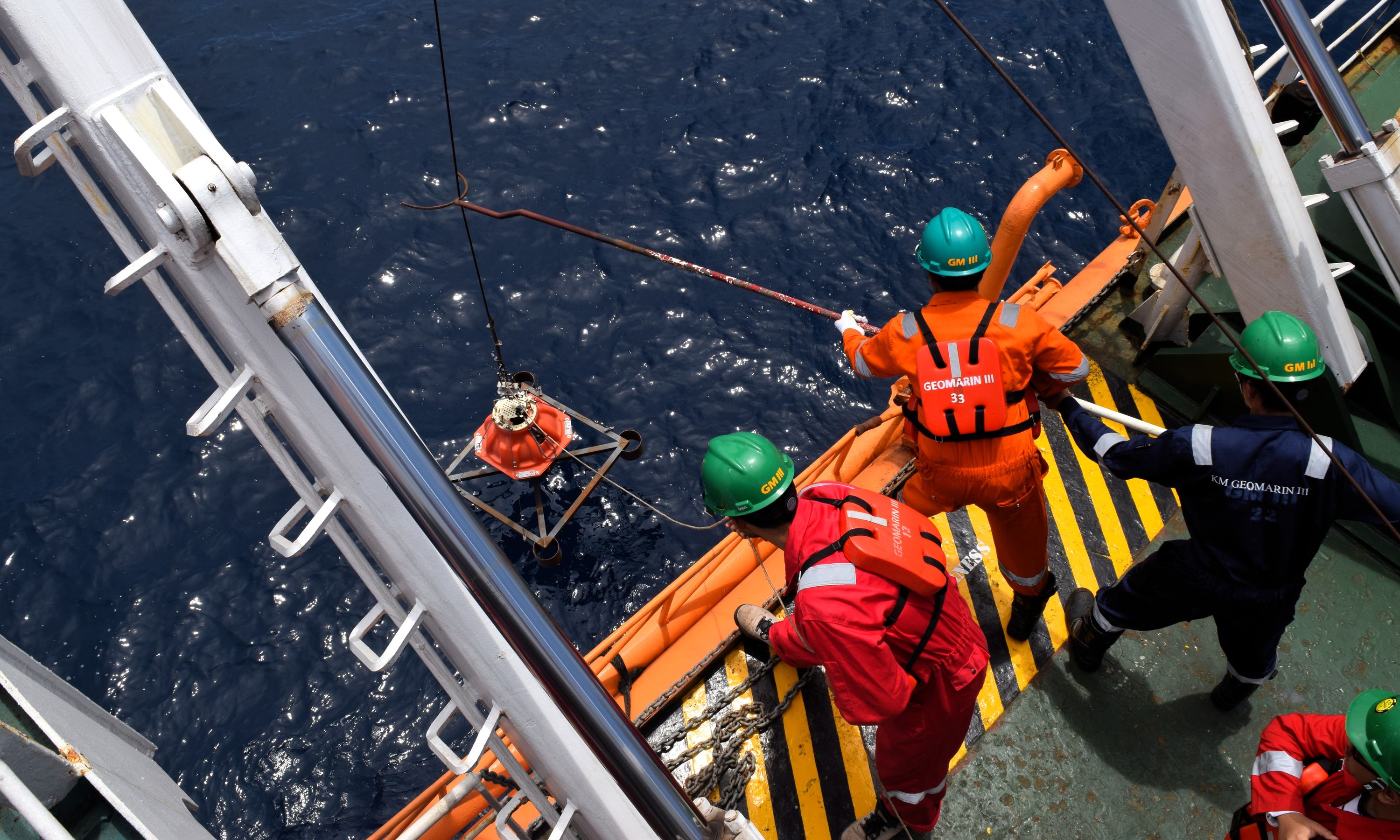
Fieldwork at sea requires scientists to work in shifts and rotations. During the cruise, three Cambridge researchers (Chuan, Simone and Tim) worked in eight-hour shifts with science parties from the other institutes. Based on the timing of the work shifts, we named our teams after Indonesian birds that are active at similar periods during the day: team Hingkik (Owls) from 22:00 to 06:00, team Mynah (Bali starling) from 06:00 to 14:00, and team Sulawesi Woodcock from 14:00 to 22:00. During these shifts, the OBS units were prepared and then dropped into the ocean, where they autonomously descended to depths of up to 5 km. There they are destined to remain for over ten months, recording ground motion due to earthquakes.
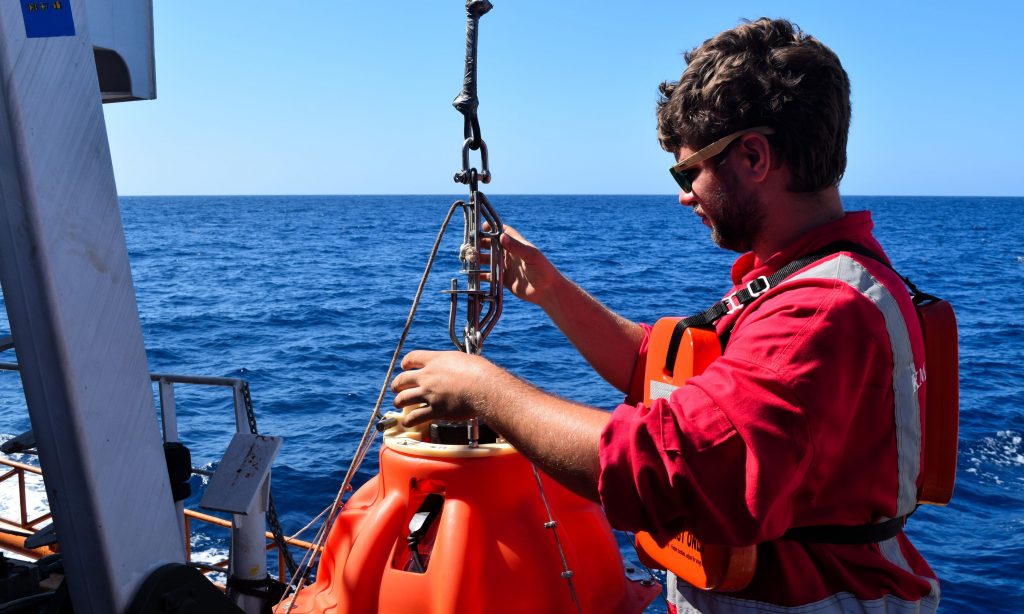
Before the vessel sails to the designated deployment position, the science team has to assemble an OBS unit, attach it to the metal ballast, (which anchors it to the seafloor,) and set up the recording system that is connected to the seismograph. It sounds simple enough, but is a different story when the sea is rough. For the first four days in the Java Sea, several people could barely move out of their bunks because of severe seasickness. Fortunately, for the remaining six days, a peaceful Celebes Sea allowed us to have a pleasant journey. Nevertheless, assembling and setting up the OBS unit for the deployment was stressful work, since any mistake would result in £32,000-worth of OBS to be lost at the bottom of the tropical seas forever. After spending ten days at sea, from 16 to 25 August, we had deployed 27 OBS units that spanned a region from the Makassar Strait to the Celebes Sea. It is worth noting that team Woodcock beat the other two teams by a slight margin, having released the largest number of OBSs (ten units) during their shift.
Earth imaging using seismic waves is one of the most effective methods for looking deep beneath the Earth’s surface to find out what is there. By using earthquake signals recorded by the OBS units deployed around the North-Sulawesi subduction zone, scientists at Cambridge hope to create the very first 3-D image of this very young subduction zone, which may provide new insight into how spontaneous subduction zones nucleate.